
Vom Kohlerevier ins Gemüselandl
A cycling route starting in Lambach, Upper Austria, Austria.
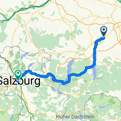
Overview
About this route
- -:--
- Duration
- 75 km
- Distance
- 798 m
- Ascent
- 893 m
- Descent
- ---
- Avg. speed
- 658 m
- Max. altitude

Route quality
Waytypes & surfaces along the route
Waytypes
Quiet road
28.5 km
(38 %)
Road
12.8 km
(17 %)
Surfaces
Paved
27 km
(36 %)
Unpaved
2.3 km
(3 %)
Asphalt
24 km
(32 %)
Paved (undefined)
3 km
(4 %)
Continue with Bikemap
Use, edit, or download this cycling route
You would like to ride Vom Kohlerevier ins Gemüselandl or customize it for your own trip? Here is what you can do with this Bikemap route:
Free features
- Save this route as favorite or in collections
- Copy & plan your own version of this route
- Sync your route with Garmin or Wahoo
Premium features
Free trial for 3 days, or one-time payment. More about Bikemap Premium.
- Navigate this route on iOS & Android
- Export a GPX / KML file of this route
- Create your custom printout (try it for free)
- Download this route for offline navigation
Discover more Premium features.
Get Bikemap PremiumFrom our community
Other popular routes starting in Lambach
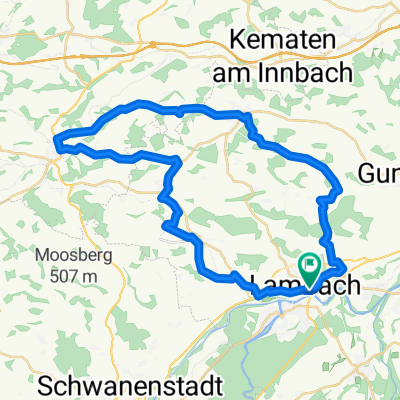 Lambachrunde
- Distance
- 38.4 km
- Ascent
- 398 m
- Descent
- 401 m
- Location
- Lambach, Upper Austria, Austria
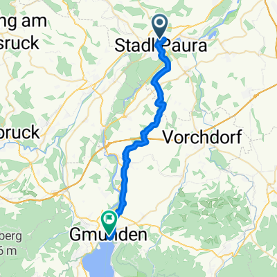 Gmunden
- Distance
- 28.1 km
- Ascent
- 304 m
- Descent
- 253 m
- Location
- Lambach, Upper Austria, Austria
 Teilstück von R4 OÖ
- Distance
- 50.6 km
- Ascent
- 605 m
- Descent
- 588 m
- Location
- Lambach, Upper Austria, Austria
 Lambach - Aschau im Chiemgau
- Distance
- 162.8 km
- Ascent
- 760 m
- Descent
- 520 m
- Location
- Lambach, Upper Austria, Austria
 kemal 1
- Distance
- 26.4 km
- Ascent
- 25 m
- Descent
- 95 m
- Location
- Lambach, Upper Austria, Austria
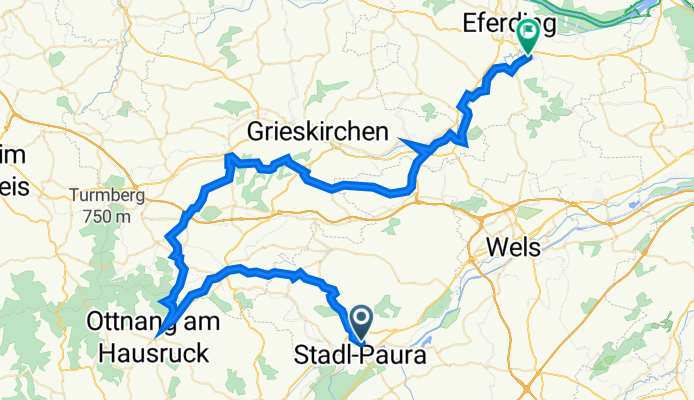
 Vom Kohlerevier ins Gemüselandl
- Distance
- 75 km
- Ascent
- 798 m
- Descent
- 893 m
- Location
- Lambach, Upper Austria, Austria
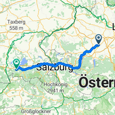
 E8 - Lambach - Salzburg
- Distance
- 114.2 km
- Ascent
- 812 m
- Descent
- 739 m
- Location
- Lambach, Upper Austria, Austria
 Lambach-Molln
- Distance
- 65.4 km
- Ascent
- 479 m
- Descent
- 384 m
- Location
- Lambach, Upper Austria, Austria
Open it in the app