御前山サイクリングフェスティバル 2022
A cycling route starting in Motegi, Tochigi, Japan.
Overview
About this route
イベント公式MAP Download
- 5 h 12 min
- Duration
- 57.4 km
- Distance
- 933 m
- Ascent
- 933 m
- Descent
- 11 km/h
- Avg. speed
- 231 m
- Max. altitude
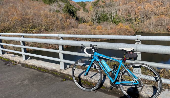
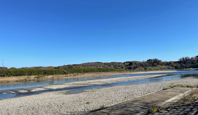
Route photos
Route highlights
Points of interest along the route
Point of interest after 14.2 km
AS 物産センターかざぐるま
Point of interest after 25.8 km
AS 道の駅かつら
Point of interest after 41.7 km
AS 大宮公民館 大場文館
Point of interest after 51.8 km
旧伊勢畑小学校 参加者駐車場
Continue with Bikemap
Use, edit, or download this cycling route
You would like to ride 御前山サイクリングフェスティバル 2022 or customize it for your own trip? Here is what you can do with this Bikemap route:
Free features
- Save this route as favorite or in collections
- Copy & plan your own version of this route
- Sync your route with Garmin or Wahoo
Premium features
Free trial for 3 days, or one-time payment. More about Bikemap Premium.
- Navigate this route on iOS & Android
- Export a GPX / KML file of this route
- Create your custom printout (try it for free)
- Download this route for offline navigation
Discover more Premium features.
Get Bikemap PremiumFrom our community
Other popular routes starting in Motegi
 御前山サイクリングフェスティバル 2022
- Distance
- 57.4 km
- Ascent
- 933 m
- Descent
- 933 m
- Location
- Motegi, Tochigi, Japan
 Twin Ring Motegi
- Distance
- 4.8 km
- Ascent
- 45 m
- Descent
- 43 m
- Location
- Motegi, Tochigi, Japan
 295-1, Motegi, Motegi, Haga-Gun to Koganeieki Higashi-dori Street, Shimotsuke
- Distance
- 46 km
- Ascent
- 263 m
- Descent
- 296 m
- Location
- Motegi, Tochigi, Japan
 bbbbbb
- Distance
- 102.2 km
- Ascent
- 1,022 m
- Descent
- 640 m
- Location
- Motegi, Tochigi, Japan
 市塙1270, 芳賀郡市貝町 to 市塙1270, 芳賀郡市貝町
- Distance
- 85.3 km
- Ascent
- 831 m
- Descent
- 811 m
- Location
- Motegi, Tochigi, Japan
Open it in the app


