

Göd-Dömörkapu-Lajos-forrás
A cycling route starting in Göd, Pest County, Hungary.
Overview
About this route
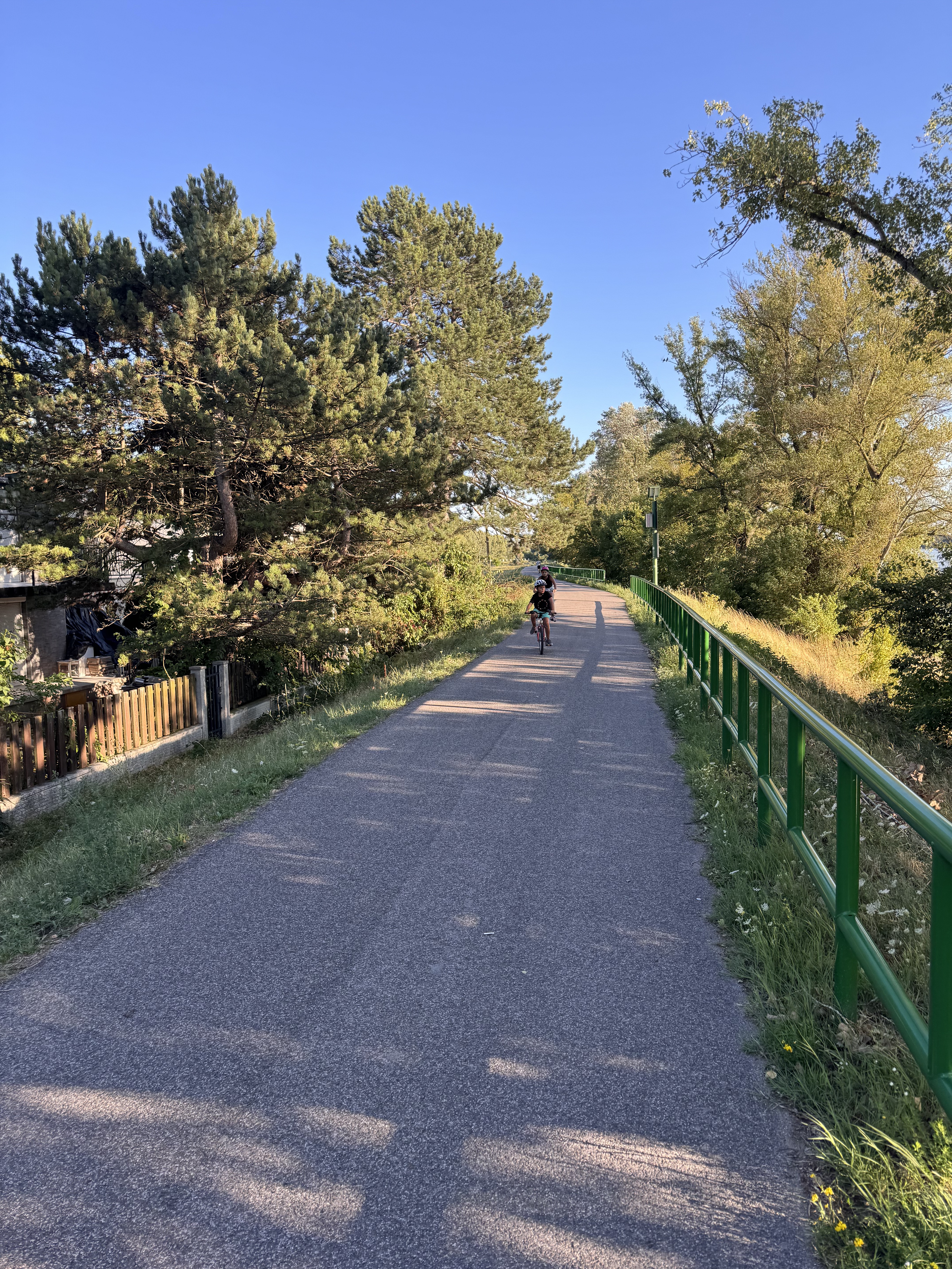
Göd-Megyeri-hid-Szentendre-Dömörkapu-Lajos Forrás-Szentendre-Megyeri Hid-Göd. Versenykerékpárral is járható, de néhány helyen rossz minőségű az út. Göd-Szentendre között könnyű szakasz kerékpárúton kivéve Dunakesz után egy rövid szakaszon. Szentendrétől közút, Dömörkapuig normál emelkedő, majd Lajosforrásig kemény szakasz. Utána (körültekintő!) száguldás lefelé és vissza Gödre.
- -:--
- Duration
- 74.6 km
- Distance
- 453 m
- Ascent
- 456 m
- Descent
- ---
- Avg. speed
- ---
- Max. altitude
Route quality
Waytypes & surfaces along the route
Waytypes
Cycleway
23 km
(31 %)
Quiet road
18.6 km
(25 %)
Surfaces
Paved
59.7 km
(80 %)
Unpaved
0.6 km
(<1 %)
Asphalt
57.3 km
(77 %)
Concrete
1.8 km
(2 %)
Continue with Bikemap
Use, edit, or download this cycling route
You would like to ride Göd-Dömörkapu-Lajos-forrás or customize it for your own trip? Here is what you can do with this Bikemap route:
Free features
- Save this route as favorite or in collections
- Copy & plan your own version of this route
- Sync your route with Garmin or Wahoo
Premium features
Free trial for 3 days, or one-time payment. More about Bikemap Premium.
- Navigate this route on iOS & Android
- Export a GPX / KML file of this route
- Create your custom printout (try it for free)
- Download this route for offline navigation
Discover more Premium features.
Get Bikemap PremiumFrom our community
Other popular routes starting in Göd
 Göd - Törökmező kiruccanás
- Distance
- 36.9 km
- Ascent
- 276 m
- Descent
- 109 m
- Location
- Göd, Pest County, Hungary
 Északi kör
- Distance
- 257.8 km
- Ascent
- 2,948 m
- Descent
- 2,945 m
- Location
- Göd, Pest County, Hungary
 Börzsöny kör
- Distance
- 97.1 km
- Ascent
- 357 m
- Descent
- 357 m
- Location
- Göd, Pest County, Hungary
 Pulykaház utca, Göd - Pulykaház utca, Göd
- Distance
- 19.6 km
- Ascent
- 40 m
- Descent
- 41 m
- Location
- Göd, Pest County, Hungary
 Körtúra Vác környékén
- Distance
- 119.4 km
- Ascent
- 440 m
- Descent
- 441 m
- Location
- Göd, Pest County, Hungary
 Target:Megyeri-híd v.2
- Distance
- 25.2 km
- Ascent
- 90 m
- Descent
- 78 m
- Location
- Göd, Pest County, Hungary
 От Arany János utca 12, Göd до Molnár utca 2, Nagymaros
- Distance
- 31.1 km
- Ascent
- 56 m
- Descent
- 78 m
- Location
- Göd, Pest County, Hungary
 Szentendre - sziget kör
- Distance
- 50.3 km
- Ascent
- 81 m
- Descent
- 81 m
- Location
- Göd, Pest County, Hungary
Open it in the app