

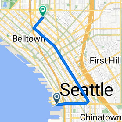
Magnolia-Discovery Park-Locks-Ship Canal-Dexter
A cycling route starting in Seattle, Washington, United States.
Overview
About this route
This is a bicycle friendly route through some residentail streets including Magnolia Blvd and Viewmont, portions of Discovery Park, and artials with bike lanes. There are places to stop within the park and the route goes right by the Ballard Locks. Some of Seattle's best in-city riding. And especially along Magnolia Blvd, there are plenty of views of Puget Sound and some really unobstructed views of the Olympics and Mt Rainier. And yes, you'll exercise your climbing legs.
- 2 h 2 min
- Duration
- 40.4 km
- Distance
- 444 m
- Ascent
- 448 m
- Descent
- 19.8 km/h
- Avg. speed
- 121 m
- Max. altitude

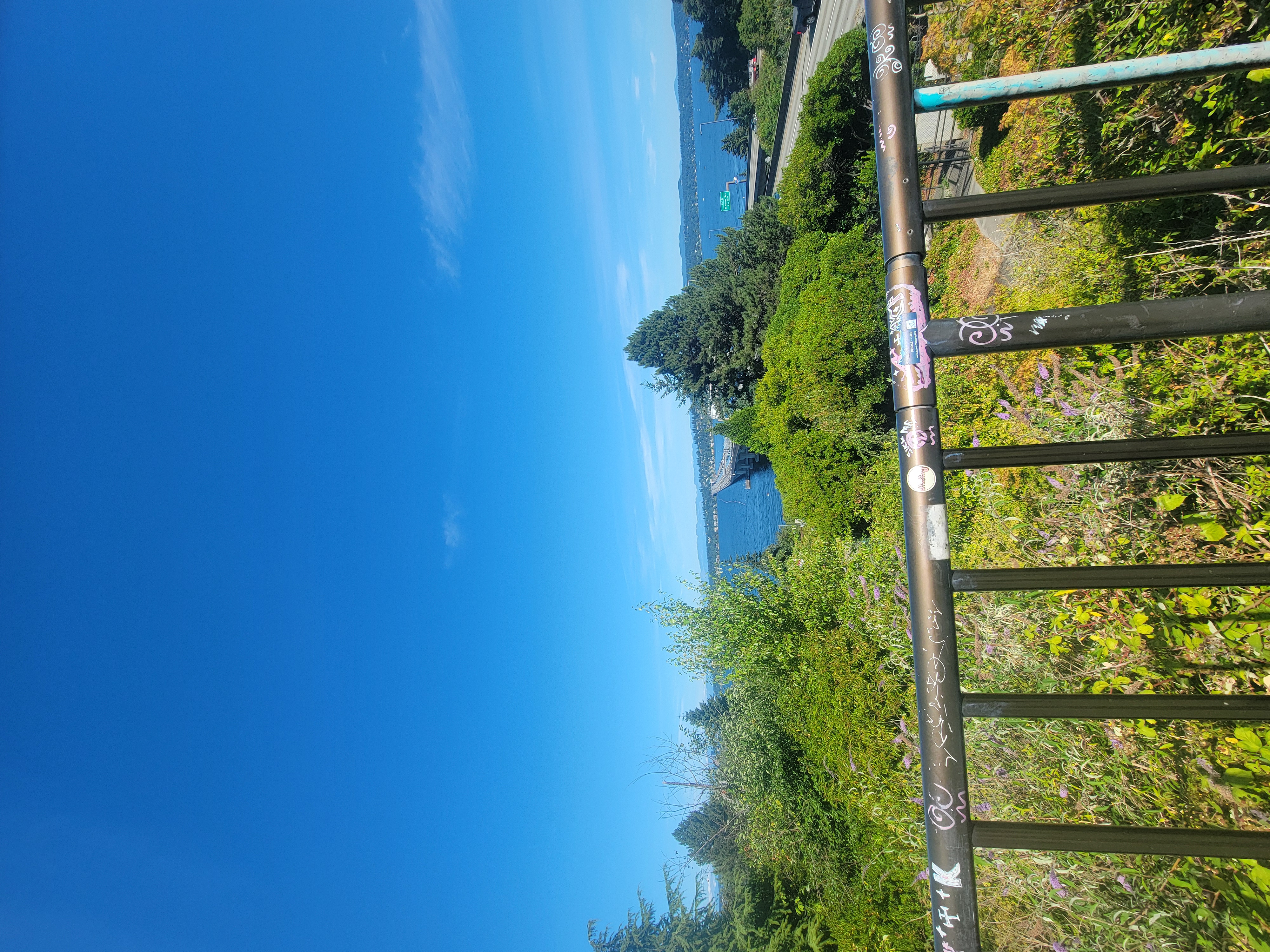
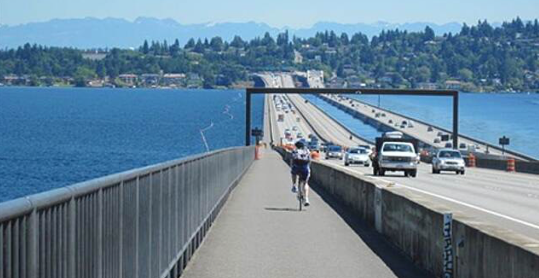
Route photos

Route quality
Waytypes & surfaces along the route
Waytypes
Road
19.4 km
(48 %)
Quiet road
6.9 km
(17 %)
Surfaces
Paved
26.3 km
(65 %)
Asphalt
18.6 km
(46 %)
Concrete
5.3 km
(13 %)
Continue with Bikemap
Use, edit, or download this cycling route
You would like to ride Magnolia-Discovery Park-Locks-Ship Canal-Dexter or customize it for your own trip? Here is what you can do with this Bikemap route:
Free features
- Save this route as favorite or in collections
- Copy & plan your own version of this route
- Sync your route with Garmin or Wahoo
Premium features
Free trial for 3 days, or one-time payment. More about Bikemap Premium.
- Navigate this route on iOS & Android
- Export a GPX / KML file of this route
- Create your custom printout (try it for free)
- Download this route for offline navigation
Discover more Premium features.
Get Bikemap PremiumFrom our community
Other popular routes starting in Seattle
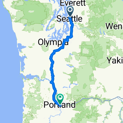 2025 Seattle to Portland (STP) Route - July 12-13, 2025
- Distance
- 333.3 km
- Ascent
- 1,334 m
- Descent
- 1,303 m
- Location
- Seattle, Washington, United States
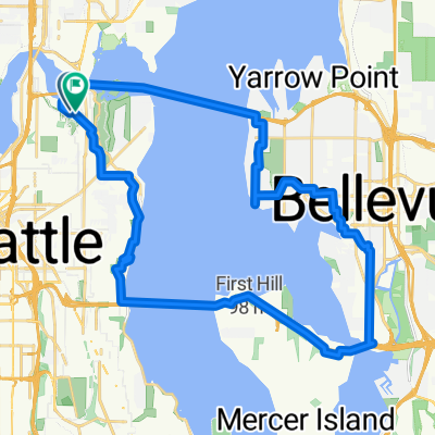 Lake WA bridges loop
- Distance
- 33.9 km
- Ascent
- 554 m
- Descent
- 554 m
- Location
- Seattle, Washington, United States
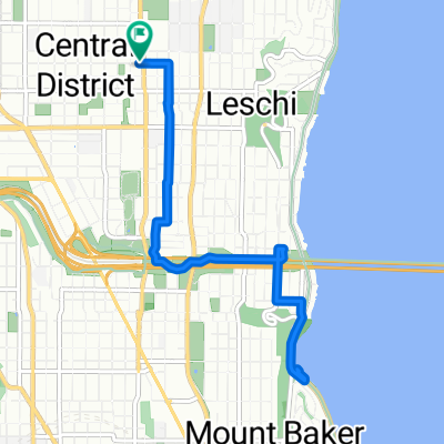 Route in Seattle
- Distance
- 8.8 km
- Ascent
- 147 m
- Descent
- 147 m
- Location
- Seattle, Washington, United States
 Chinatown to UW via Mercer
- Distance
- 32.1 km
- Ascent
- 357 m
- Descent
- 351 m
- Location
- Seattle, Washington, United States
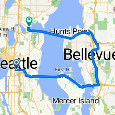
 To Bellevue and Back
- Distance
- 15.8 km
- Ascent
- 265 m
- Descent
- 265 m
- Location
- Seattle, Washington, United States
 Morning Commute 2
- Distance
- 3.2 km
- Ascent
- 101 m
- Descent
- 64 m
- Location
- Seattle, Washington, United States
 East Mercer Street to 14th Ave S & S Washington St
- Distance
- 15.3 km
- Ascent
- 156 m
- Descent
- 181 m
- Location
- Seattle, Washington, United States
 Seattle through Woodinville and Marymoor Park, around Lake Sammamish, and Return from Issaquah over Mercer Island
- Distance
- 95.7 km
- Ascent
- 874 m
- Descent
- 874 m
- Location
- Seattle, Washington, United States
Open it in the app