

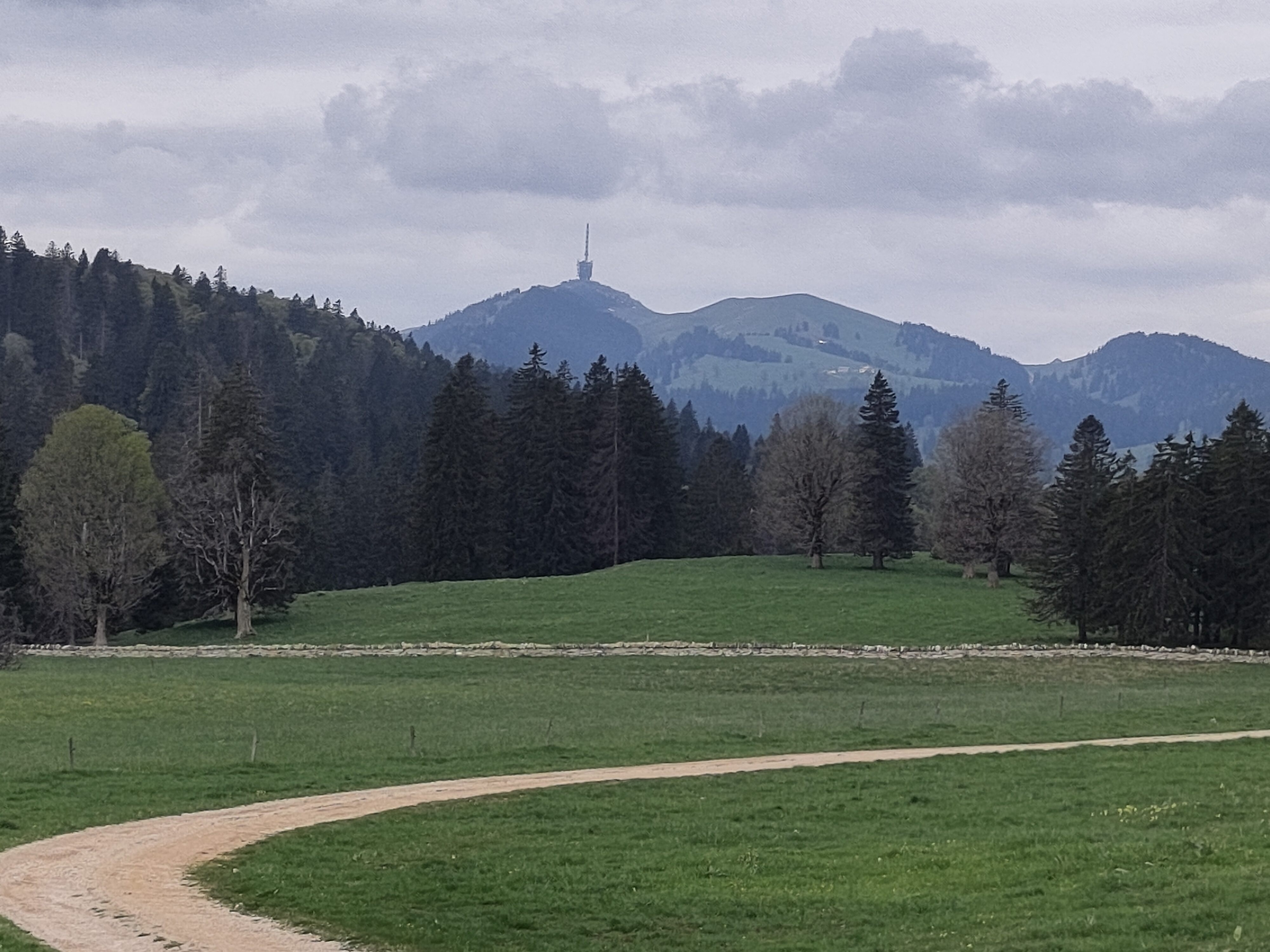
Biel-Gurnigel
A cycling route starting in Biel/Bienne, Canton of Bern, Switzerland.
Overview
About this route
- -:--
- Duration
- 140.6 km
- Distance
- 1,682 m
- Ascent
- 1,681 m
- Descent
- ---
- Avg. speed
- ---
- Max. altitude
Route quality
Waytypes & surfaces along the route
Waytypes
Quiet road
35.1 km
(25 %)
Road
28.1 km
(20 %)
Surfaces
Paved
70.3 km
(50 %)
Unpaved
8.4 km
(6 %)
Asphalt
66.1 km
(47 %)
Gravel
5.6 km
(4 %)
Continue with Bikemap
Use, edit, or download this cycling route
You would like to ride Biel-Gurnigel or customize it for your own trip? Here is what you can do with this Bikemap route:
Free features
- Save this route as favorite or in collections
- Copy & plan your own version of this route
- Split it into stages to create a multi-day tour
- Sync your route with Garmin or Wahoo
Premium features
Free trial for 3 days, or one-time payment. More about Bikemap Premium.
- Navigate this route on iOS & Android
- Export a GPX / KML file of this route
- Create your custom printout (try it for free)
- Download this route for offline navigation
Discover more Premium features.
Get Bikemap PremiumFrom our community
Other popular routes starting in Biel/Bienne
 Biel - Saisselin - Jobert - Biel
- Distance
- 38.5 km
- Ascent
- 1,292 m
- Descent
- 1,293 m
- Location
- Biel/Bienne, Canton of Bern, Switzerland
 47°Nord Tour de Suisse Etappe 1
- Distance
- 91.5 km
- Ascent
- 225 m
- Descent
- 172 m
- Location
- Biel/Bienne, Canton of Bern, Switzerland
 P-Biel/Evilard/Orvin/Plagne/Grenchen (37km)
- Distance
- 37.8 km
- Ascent
- 683 m
- Descent
- 684 m
- Location
- Biel/Bienne, Canton of Bern, Switzerland
 Biel-Gurnigel
- Distance
- 140.6 km
- Ascent
- 1,682 m
- Descent
- 1,681 m
- Location
- Biel/Bienne, Canton of Bern, Switzerland
 P-Biel/Aetigkofen (63km)
- Distance
- 63.4 km
- Ascent
- 490 m
- Descent
- 486 m
- Location
- Biel/Bienne, Canton of Bern, Switzerland
 P-Biel/Twann/Lignières/CHASSERAL/Nods/Orvin/Evilard (62 km)
- Distance
- 62.8 km
- Ascent
- 1,389 m
- Descent
- 1,386 m
- Location
- Biel/Bienne, Canton of Bern, Switzerland
 De Quai du Bas 1, Biel/Bienne à Quai du Bas 1, Biel/Bienne
- Distance
- 15.3 km
- Ascent
- 644 m
- Descent
- 647 m
- Location
- Biel/Bienne, Canton of Bern, Switzerland
 P-Biel/Aetigkofen (70km)
- Distance
- 70.4 km
- Ascent
- 753 m
- Descent
- 749 m
- Location
- Biel/Bienne, Canton of Bern, Switzerland
Open it in the app