Monte Baldo
- 112.9 km
- 1,895 m
- 1,895 m
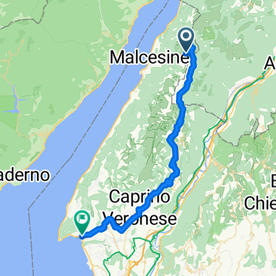
- Malcesine, Veneto, Italy
A cycling route starting in Malcesine, Veneto, Italy.
Overview
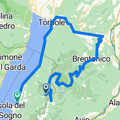
Beautiful fast route from the mountain station of Monte Baldo towards the north. For only 730m up, there is 2200m down :-)). Beautiful views of Lake Garda and the Dolomites. First, you go down on gravel towards the saddle with a view of Lake Garda. Then the provincial road climbs to the Rif. Graziani. Continue downhill via San Valentino and San Giacomo, to Brentonico. From there it first continues downhill, then on a small road climbs a bit to the village of Castione above Mori. From there through the forest first on top then steeply down into the valley to Sano. Along the edge of the forest over partly gravel and unpaved paths to Sant' Antonio. Then continue on the large bike path past Lake Loppio uphill to Nago and quickly downhill to Torbole. From there, you go along the shore of Lake Garda on the main road to Navene, and from there back on the bike path to Malcesine.
On the main roads, it’s almost all downhill, going as fast as the cars ;-), otherwise mainly bike paths, gravel, trails and small side roads. Only from Tobole to Navene does one travel a bit slower than the cars on the main road.
created this 14 years ago
Route highlights

Ausblick vom Monte Baldo nach Nord-Osten

Blick vom Sattel zurück auf den Gardasee!

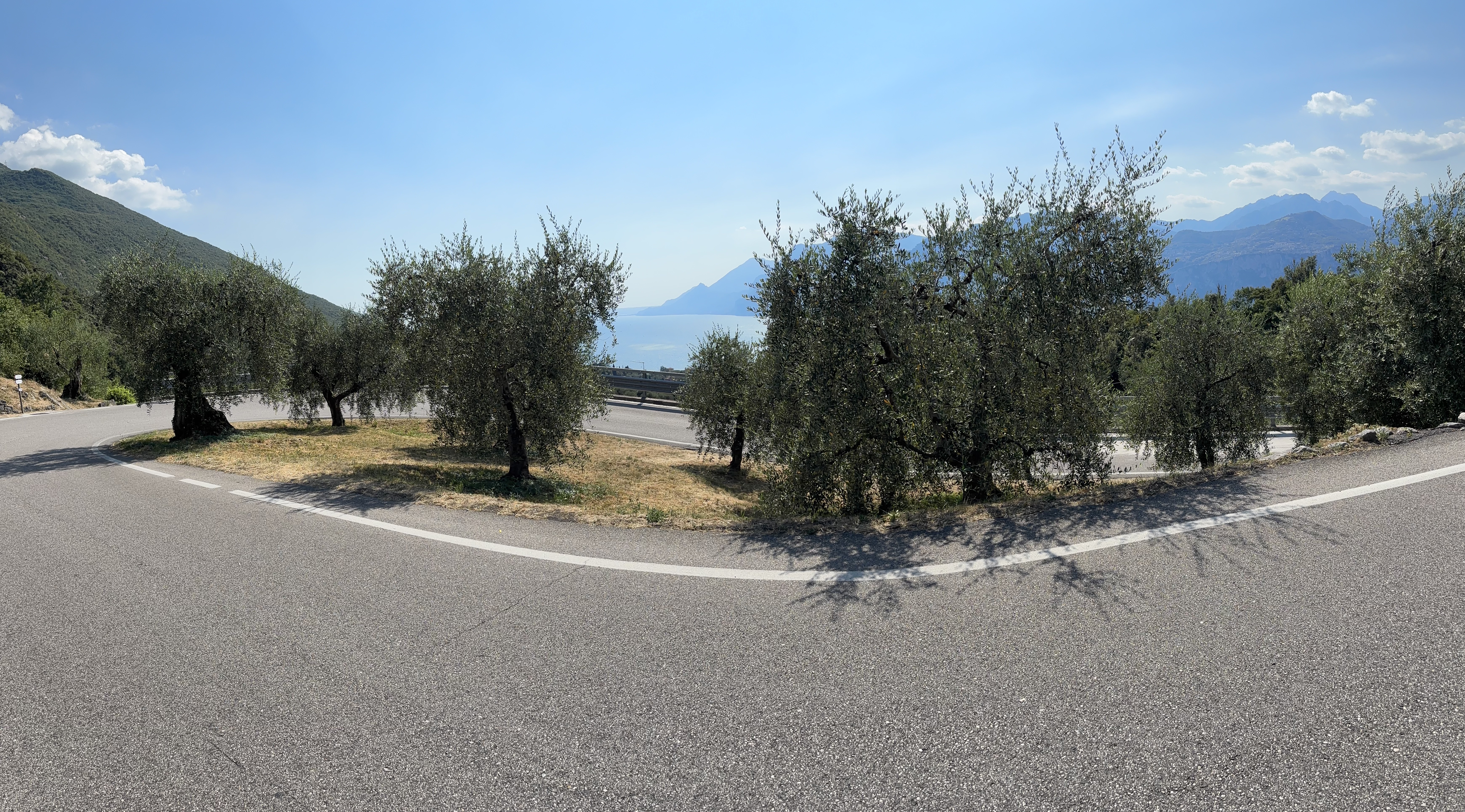
Blick zum Monte Altissimo und dem Rif. Graziani.

Blick beim Rif. Graziani zurück in Richtung Süden auf den Start der Tour (rechts) und zum Gipfel des Monte Baldo (links).

Blick von Nago in Richtung Torbole und dem Gardasee und die letzte Abfahrt.

Blick in Torbole Richtung Süden auf den abendlichen Gardasee.
Continue with Bikemap
You would like to ride Malcesine - Monte Baldo - Rif. Graziani - Brentonico - Castione - Nago - Torbole - Malcesine or customize it for your own trip? Here is what you can do with this Bikemap route:
Free trial for 3 days, or one-time payment. More about Bikemap Premium.
Discover more Premium features.
Get Bikemap PremiumFrom our community
Open it in the app