Bödmerstraße nach Bödmerstraße
- 8.2 km
- 307 m
- 358 m
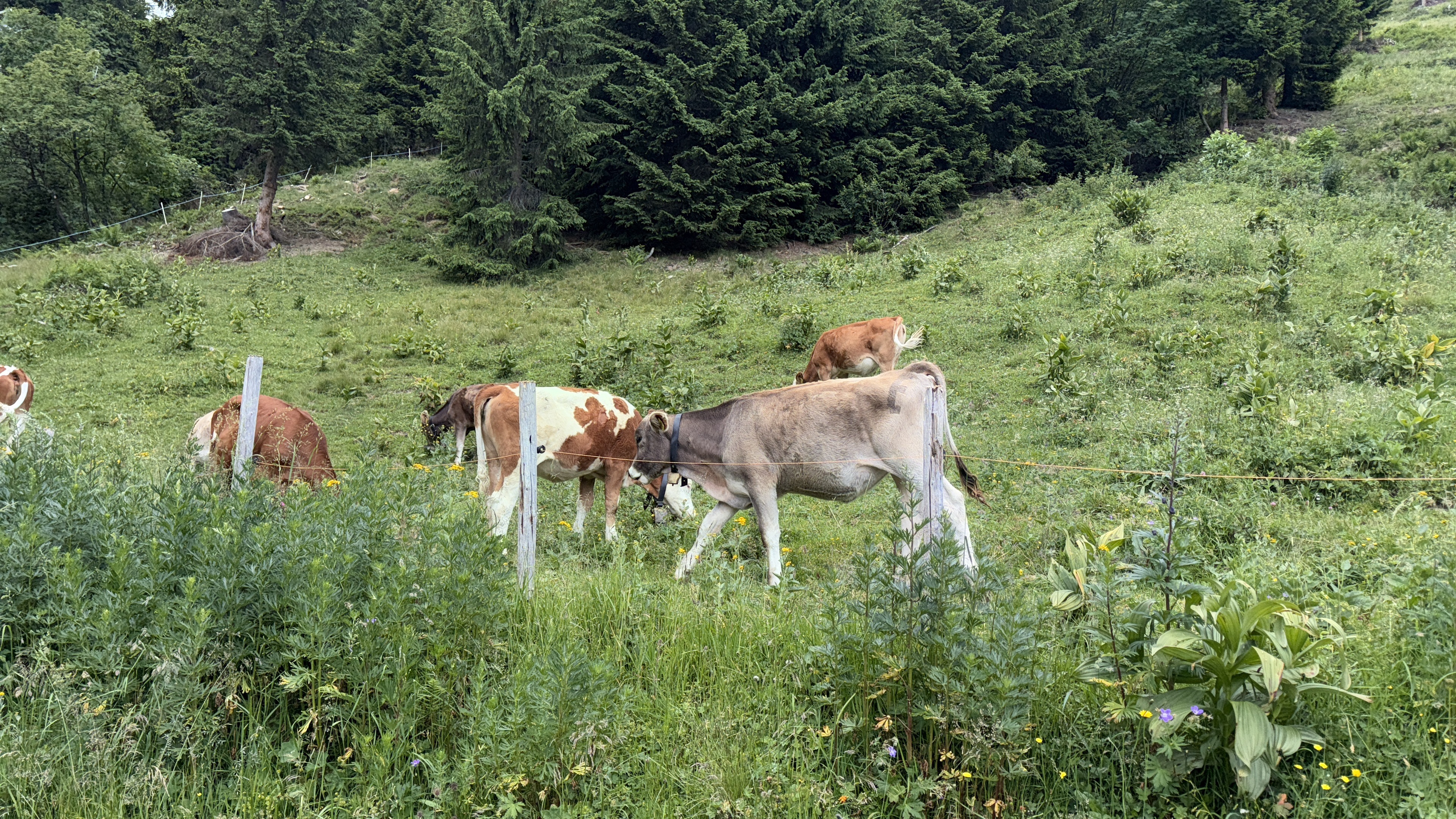
- Mittelberg, Vorarlberg, Austria
A cycling route starting in Mittelberg, Vorarlberg, Austria.
Overview
Almost all asphalt. The biggest challenge are the 2 climbs (Söllereck & Sesslalpe). The tour offers almost nothing technically. Exception: descent after the chairlift down to a small bridge. Here, real riding skill with the MTB is required.
created this 14 years ago
Route quality
Quiet road
12.1 km
(47 %)
Track
6.4 km
(25 %)
Paved
19.8 km
(77 %)
Unpaved
4.4 km
(17 %)
Asphalt
19.5 km
(76 %)
Loose gravel
3.3 km
(13 %)
Route highlights
Spaßige Fahrt über kleinen, unbefestigten Waldweg.
Hoher technischer Anspruch bei der Abfahrt, macht echt Spaß.
Continue with Bikemap
You would like to ride Anlehnung: Route 8 MTB - Kleinwalsertal or customize it for your own trip? Here is what you can do with this Bikemap route:
Free trial for 3 days, or one-time payment. More about Bikemap Premium.
Discover more Premium features.
Get Bikemap PremiumFrom our community
Open it in the app