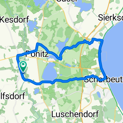
Süsel - Heiligenhafen
- 49.6 km
- 158 m
- 160 m
- Süsel, Schleswig-Holstein, Germany
A cycling route starting in Süsel, Schleswig-Holstein, Germany.
Overview
Lindenstraße 42, 23684 Scharbeutz
Malente:
Gerüchteküche: Tuesday - Sunday 11:30 AM to 2:30 PM Monday day off
Villa Colonial: Tuesday - Sunday 12:00 PM - 10:00 PM Days off: Monday + Tuesday
Boots-Haus am Dieksee: 11:30 AM - 9:00 PM no day off
created this 3 years ago
Route quality
Quiet road
31.2 km
(38 %)
Path
22.1 km
(27 %)
Paved
59.1 km
(72 %)
Unpaved
11.5 km
(14 %)
Asphalt
54.1 km
(66 %)
Gravel
6.6 km
(8 %)
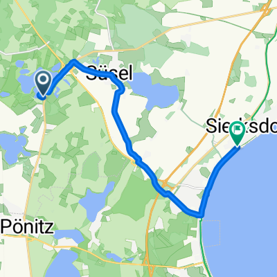
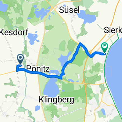
Route highlights
Boots-Haus am Dieksee
Villa Colonial
Gerüchteküche
Continue with Bikemap
You would like to ride Pönitz or customize it for your own trip? Here is what you can do with this Bikemap route:
Free trial for 3 days, or one-time payment. More about Bikemap Premium.
Discover more Premium features.
Get Bikemap PremiumFrom our community
Open it in the app