
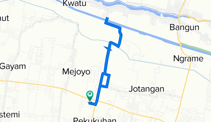
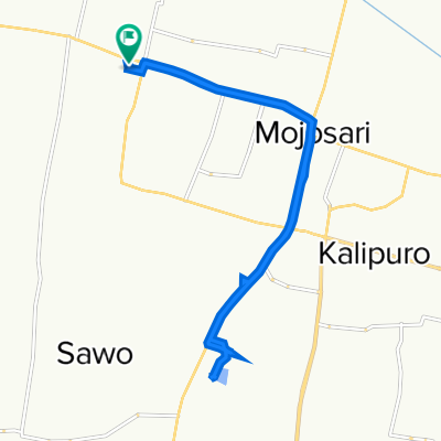
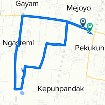
prambon
A cycling route starting in Mojosari, East Java, Indonesia.
Overview
About this route
- 1 h 1 min
- Duration
- 10.4 km
- Distance
- 56 m
- Ascent
- 88 m
- Descent
- 10.3 km/h
- Avg. speed
- 49 m
- Avg. speed

Route quality
Waytypes & surfaces along the route
Waytypes
Road
8.6 km
(82 %)
Quiet road
1.4 km
(14 %)
Continue with Bikemap
Use, edit, or download this cycling route
You would like to ride prambon or customize it for your own trip? Here is what you can do with this Bikemap route:
Free features
- Save this route as favorite or in collections
- Copy & plan your own version of this route
- Sync your route with Garmin or Wahoo
Premium features
Free trial for 3 days, or one-time payment. More about Bikemap Premium.
- Navigate this route on iOS & Android
- Export a GPX / KML file of this route
- Create your custom printout (try it for free)
- Download this route for offline navigation
Discover more Premium features.
Get Bikemap PremiumFrom our community
Other popular routes starting in Mojosari
 Jalan Gajah Mada No.10/03, Kecamatan Mojosari to Jalan Gajah Mada No.10/03, Kecamatan Mojosari
- Distance
- 19.5 km
- Ascent
- 50 m
- Descent
- 52 m
- Location
- Mojosari, East Java, Indonesia
 Mojosari-Pacet
- Distance
- 23.8 km
- Ascent
- 906 m
- Descent
- 165 m
- Location
- Mojosari, East Java, Indonesia
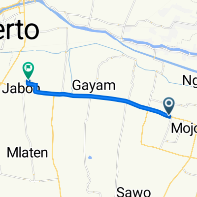 Jalan Gajah Mada No.10/03, Kecamatan Mojosari to Village Ave 40, Kecamatan Mojoanyar
- Distance
- 9.7 km
- Ascent
- 13 m
- Descent
- 18 m
- Location
- Mojosari, East Java, Indonesia
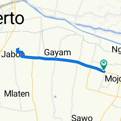
 Jalan Raya Pekukuhan 22, Kecamatan Mojosari to Jalan Raya Pekukuhan 22, Kecamatan Mojosari
- Distance
- 19.7 km
- Ascent
- 230 m
- Descent
- 230 m
- Location
- Mojosari, East Java, Indonesia
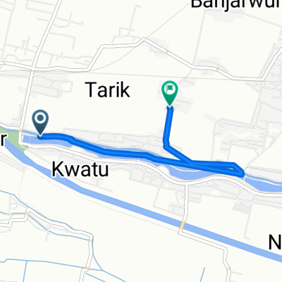 Jalan Tarik - Prambon, Kecamatan Tarik to Unnamed Road, Kecamatan Tarik
- Distance
- 4.2 km
- Ascent
- 7 m
- Descent
- 1 m
- Location
- Mojosari, East Java, Indonesia
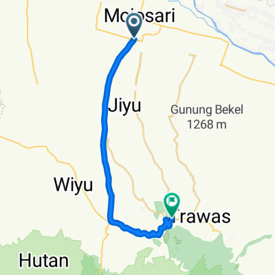
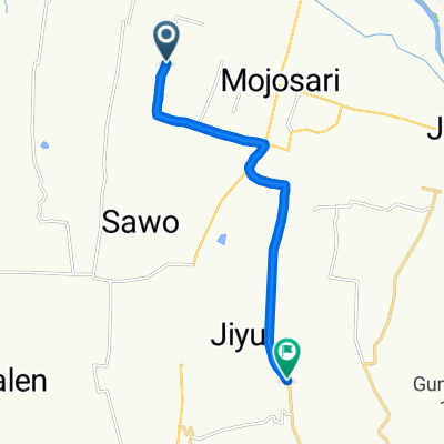 to jatijejer
- Distance
- 12.9 km
- Ascent
- 425 m
- Descent
- 191 m
- Location
- Mojosari, East Java, Indonesia
 Jalan Raya Pekukuhan 22, Kecamatan Mojosari to Jalan Raya Pekukuhan 22, Kecamatan Mojosari
- Distance
- 10.1 km
- Ascent
- 75 m
- Descent
- 68 m
- Location
- Mojosari, East Java, Indonesia
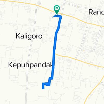
 Jalan Raya Ngranggon, Kecamatan Bangsal to Jalan Raya Pekukuhan 22, Kecamatan Mojosari
- Distance
- 13.9 km
- Ascent
- 83 m
- Descent
- 88 m
- Location
- Mojosari, East Java, Indonesia
Open it in the app