


От M5 21, Ptghunk до M5 21, Ptghunk
- 7.5 km
- 57 m
- 58 m
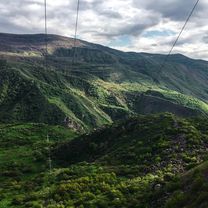
- Ptghunk, Armavir Province, Armenia
Overview
created this 2 years ago
Part of
9 stages

Continue with Bikemap
You would like to ride Armenia day 1 - traffic or customize it for your own trip? Here is what you can do with this Bikemap route:
Free trial for 3 days, or one-time payment. More about Bikemap Premium.
Discover more Premium features.
Get Bikemap PremiumFrom our community
Open it in the app


