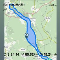
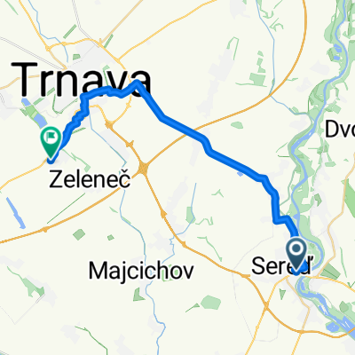
Galanta - Sládkovičovo - V.Grob - Senec (jazerá) - Veľké Úľany
A cycling route starting in Galanta, Trnava Region, Slovakia.
Overview
About this route
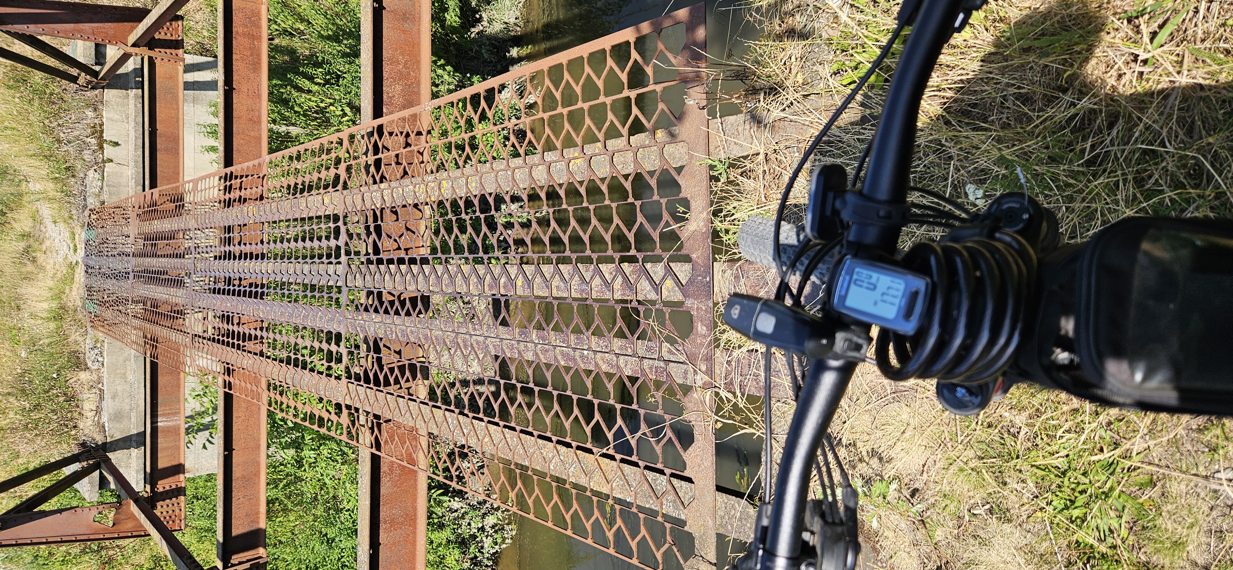
Asfalt - cesty, polne / lesne cesty
- -:--
- Duration
- 60.5 km
- Distance
- 67 m
- Ascent
- 68 m
- Descent
- ---
- Avg. speed
- 131 m
- Max. altitude
Route quality
Waytypes & surfaces along the route
Waytypes
Road
39.9 km
(66 %)
Access road
6.7 km
(11 %)
Surfaces
Paved
21.8 km
(36 %)
Unpaved
1.8 km
(3 %)
Asphalt
16.3 km
(27 %)
Concrete
5.4 km
(9 %)
Continue with Bikemap
Use, edit, or download this cycling route
You would like to ride Galanta - Sládkovičovo - V.Grob - Senec (jazerá) - Veľké Úľany or customize it for your own trip? Here is what you can do with this Bikemap route:
Free features
- Save this route as favorite or in collections
- Copy & plan your own version of this route
- Sync your route with Garmin or Wahoo
Premium features
Free trial for 3 days, or one-time payment. More about Bikemap Premium.
- Navigate this route on iOS & Android
- Export a GPX / KML file of this route
- Create your custom printout (try it for free)
- Download this route for offline navigation
Discover more Premium features.
Get Bikemap PremiumFrom our community
Other popular routes starting in Galanta
- Galanta - Košúty - Sládkovičovo
- Distance
- 9.6 km
- Ascent
- 4 m
- Descent
- 5 m
- Location
- Galanta, Trnava Region, Slovakia
- Horné Saliby to Váhovce
- Distance
- 22.4 km
- Ascent
- 98 m
- Descent
- 89 m
- Location
- Galanta, Trnava Region, Slovakia
- Cyklotrasy Galantsko - Po vodných mlynoch II.
- Distance
- 53.2 km
- Ascent
- 19 m
- Descent
- 20 m
- Location
- Galanta, Trnava Region, Slovakia
- Cyklotrasy Galantsko - Po vodných mlynoch I.
- Distance
- 60.7 km
- Ascent
- 8 m
- Descent
- 10 m
- Location
- Galanta, Trnava Region, Slovakia
- Sereď - Šoporňa - Hájske - H.Kráľová - Močenok
- Distance
- 19 km
- Ascent
- 76 m
- Descent
- 69 m
- Location
- Galanta, Trnava Region, Slovakia
- Sereď - Dolná Streda - Nový Majer
- Distance
- 20.8 km
- Ascent
- 26 m
- Descent
- 23 m
- Location
- Galanta, Trnava Region, Slovakia
- Šintava do Šintava
- Distance
- 44 km
- Ascent
- 76 m
- Descent
- 132 m
- Location
- Galanta, Trnava Region, Slovakia
- Jesenského 55 do Cesta bez názvu, Dlhá nad Váhom
- Distance
- 22.4 km
- Ascent
- 14 m
- Descent
- 34 m
- Location
- Galanta, Trnava Region, Slovakia
Open it in the app