

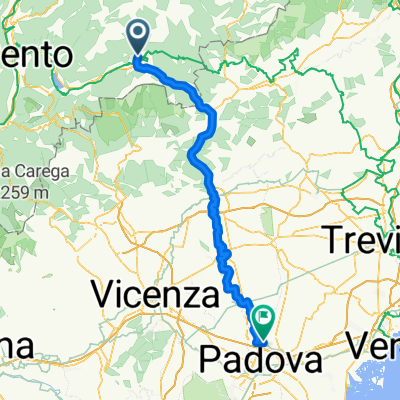
Carzano Malga_Conseria (45,2 km)
A cycling route starting in Carzano, Trentino-Alto Adige, Italy.
Overview
About this route
Sunday and for the first time the weather was warm, around 20 degrees in the afternoon. So today I rode into the valley of the Torrente Maso, let's see how far I can get with one battery charge. First, I had to cross over to Scurelle, then the climb was quite steep, at least 16%, but the Strada val campelle is gentler, very scenic with lots of traffic today on Sunday. At the Refugio Crucio, there was a buzz, every Sunday they serve a unique regional specialty here that is only made here. After that, it got a bit steeper until the Refugio Carlette, nicely located. Now began the hard part, a minimum of 12% on gravel on the Strada for. Cinque croci 2. It stretched up to the pass at 2023 m, where half the battery was empty. I then rode down to the Malga (alpine pasture) Val Cion, where a magnificent mountain panorama in unusual colors was revealed to me, I'd never seen it like that before. Also, a wonderful view of the Cima Lagorai of the Lagorai group. Back to Malga Conseria, where there was already quite a bit going on. I had to push on the (official) S2 trail, deeply washed out and very rocky, at the end 40% and heavily rooted, all still wet. Then a rideable forest road which leads to a great S1 trail (footpath). In the end, a valley like one sees in romantic landscape paintings of the 18th century. Dreamlike! Then back up on a forest road, later S1 occasionally S2 trail. For the descent, I initially wanted to take the forest road but ended up on the road instead, more fun with good speed. Tough but rewarding.
- -:--
- Duration
- 43.9 km
- Distance
- 2,614 m
- Ascent
- 2,612 m
- Descent
- ---
- Avg. speed
- 2,028 m
- Max. altitude

Continue with Bikemap
Use, edit, or download this cycling route
You would like to ride Carzano Malga_Conseria (45,2 km) or customize it for your own trip? Here is what you can do with this Bikemap route:
Free features
- Save this route as favorite or in collections
- Copy & plan your own version of this route
- Sync your route with Garmin or Wahoo
Premium features
Free trial for 3 days, or one-time payment. More about Bikemap Premium.
- Navigate this route on iOS & Android
- Export a GPX / KML file of this route
- Create your custom printout (try it for free)
- Download this route for offline navigation
Discover more Premium features.
Get Bikemap PremiumFrom our community
Other popular routes starting in Carzano
 Carzano/Borgo to Trento
- Distance
- 46 km
- Ascent
- 373 m
- Descent
- 606 m
- Location
- Carzano, Trentino-Alto Adige, Italy
 Borgo Valsugana - Forte Busa Runde (63 km)
- Distance
- 61.5 km
- Ascent
- 2,381 m
- Descent
- 2,394 m
- Location
- Carzano, Trentino-Alto Adige, Italy
 Alpen Tag 5 Chioggia
- Distance
- 159 km
- Ascent
- 614 m
- Descent
- 1,060 m
- Location
- Carzano, Trentino-Alto Adige, Italy
 3Carzano-Vigodazere
- Distance
- 107.9 km
- Ascent
- 98 m
- Descent
- 515 m
- Location
- Carzano, Trentino-Alto Adige, Italy
 Route3-1
- Distance
- 51.6 km
- Ascent
- 266 m
- Descent
- 583 m
- Location
- Carzano, Trentino-Alto Adige, Italy
 3Carzano-Vigodazere
- Distance
- 102.8 km
- Ascent
- 47 m
- Descent
- 464 m
- Location
- Carzano, Trentino-Alto Adige, Italy
 Carzano- Forte Leone - Arsiè Runde (89 km)
- Distance
- 86.8 km
- Ascent
- 3,246 m
- Descent
- 3,243 m
- Location
- Carzano, Trentino-Alto Adige, Italy
 3Carzano-Vicenza
- Distance
- 94 km
- Ascent
- 170 m
- Descent
- 484 m
- Location
- Carzano, Trentino-Alto Adige, Italy
Open it in the app