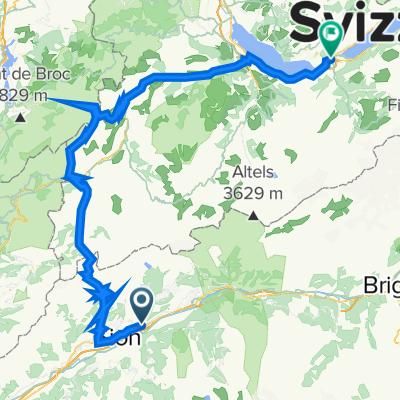
CH Wallis 2: Sitten (Hotel Des Vignes) - Aigle (Gare)
- 64.4 km
- 271 m
- 369 m
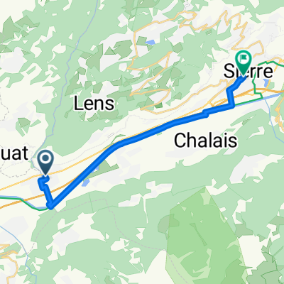
- Saint-Léonard, Valais, Switzerland
A cycling route starting in Saint-Léonard, Valais, Switzerland.
Overview
Sometimes you choose climbs for the thrill of the descent. This is one of those. From Sion, you ride along the Rhône, flat to Sierre. There, the climb to the fashionable spots of Montana and Crans begins. If you are wondering whether to head to those flats in the high mountains, the answer is yes. You will indeed reach that altitude. The climb is tough, averaging over 7%. From Crans, you can cut through the mountains to Ayent. The descents that follow are simply superb! With tears in your eyes from the wind, you arrive satisfied at the bottom.
Route quality
Road
21.8 km
42 %
Track
8.3 km
16 %
Paved
49.3 km
(95 %)
Unpaved
1 km
(2 %)
Asphalt
48.7 km
94 %
Gravel
1 km
2 %
Continue with Bikemap
You would like to ride CH: Sion - Crans Montana or customize it for your own trip? Here is what you can do with this Bikemap route:
Free trial for 3 days, or one-time payment. More about Bikemap Premium.
Discover more Premium features.
Get Bikemap PremiumFrom our community
Open it in the app