

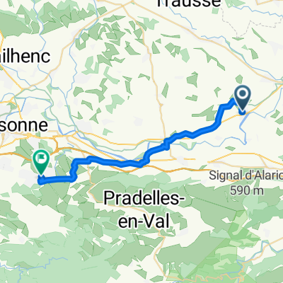
Puicheric - Lastours - Carcassonne
A cycling route starting in Puichéric, Occitanie, France.
Overview
About this route
- -:--
- Duration
- 73.9 km
- Distance
- 453 m
- Ascent
- 454 m
- Descent
- ---
- Avg. speed
- 213 m
- Max. altitude

Route quality
Waytypes & surfaces along the route
Waytypes
Road
27.3 km
(37 %)
Track
19.2 km
(26 %)
Surfaces
Paved
36.2 km
(49 %)
Unpaved
29.6 km
(40 %)
Asphalt
36.2 km
(49 %)
Gravel
14.8 km
(20 %)
Continue with Bikemap
Use, edit, or download this cycling route
You would like to ride Puicheric - Lastours - Carcassonne or customize it for your own trip? Here is what you can do with this Bikemap route:
Free features
- Save this route as favorite or in collections
- Copy & plan your own version of this route
- Sync your route with Garmin or Wahoo
Premium features
Free trial for 3 days, or one-time payment. More about Bikemap Premium.
- Navigate this route on iOS & Android
- Export a GPX / KML file of this route
- Create your custom printout (try it for free)
- Download this route for offline navigation
Discover more Premium features.
Get Bikemap PremiumFrom our community
Other popular routes starting in Puichéric
 Puicheric - Lastours - Carcassonne
- Distance
- 73.9 km
- Ascent
- 453 m
- Descent
- 454 m
- Location
- Puichéric, Occitanie, France
 puicheric-pamiers
- Distance
- 95.8 km
- Ascent
- 463 m
- Descent
- 226 m
- Location
- Puichéric, Occitanie, France
 Escales - ronde ZZO
- Distance
- 44 km
- Ascent
- 302 m
- Descent
- 302 m
- Location
- Puichéric, Occitanie, France
 an den Canal du Midi
- Distance
- 39.4 km
- Ascent
- 171 m
- Descent
- 171 m
- Location
- Puichéric, Occitanie, France
 B) Puicheric --> Prades
- Distance
- 113.3 km
- Ascent
- 803 m
- Descent
- 514 m
- Location
- Puichéric, Occitanie, France
 Day 39 | Puichéric to Colombiers
- Distance
- 70.8 km
- Ascent
- 58 m
- Descent
- 108 m
- Location
- Puichéric, Occitanie, France
 Puichéric nr Carcassonne
- Distance
- 33.7 km
- Ascent
- 91 m
- Descent
- 33 m
- Location
- Puichéric, Occitanie, France
 De Rue de l'Église à Rue Los Garrabiers
- Distance
- 25.9 km
- Ascent
- 301 m
- Descent
- 150 m
- Location
- Puichéric, Occitanie, France
Open it in the app