

Chalt-Tour mit Bilal
A cycling route starting in Triengen, Canton of Lucerne, Switzerland.
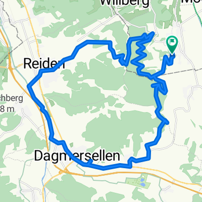
Overview
About this route
- -:--
- Duration
- 27.8 km
- Distance
- 695 m
- Ascent
- 697 m
- Descent
- ---
- Avg. speed
- 739 m
- Max. altitude

Route quality
Waytypes & surfaces along the route
Waytypes
Track
13.3 km
(48 %)
Quiet road
9.2 km
(33 %)
Surfaces
Paved
3.1 km
(11 %)
Unpaved
12.2 km
(44 %)
Gravel
11.1 km
(40 %)
Asphalt
2.2 km
(8 %)
Continue with Bikemap
Use, edit, or download this cycling route
You would like to ride Chalt-Tour mit Bilal or customize it for your own trip? Here is what you can do with this Bikemap route:
Free features
- Save this route as favorite or in collections
- Copy & plan your own version of this route
- Sync your route with Garmin or Wahoo
Premium features
Free trial for 3 days, or one-time payment. More about Bikemap Premium.
- Navigate this route on iOS & Android
- Export a GPX / KML file of this route
- Create your custom printout (try it for free)
- Download this route for offline navigation
Discover more Premium features.
Get Bikemap PremiumFrom our community
Other popular routes starting in Triengen
 Raga2
Raga2- Distance
- 21.4 km
- Ascent
- 494 m
- Descent
- 584 m
- Location
- Triengen, Canton of Lucerne, Switzerland
 Letten
- Distance
- 21.9 km
- Ascent
- 745 m
- Descent
- 755 m
- Location
- Triengen, Canton of Lucerne, Switzerland
 Etzelwil-Böhler-Liebegg-Homberg ca 3.5 Std
- Distance
- 44.9 km
- Ascent
- 1,196 m
- Descent
- 1,193 m
- Location
- Triengen, Canton of Lucerne, Switzerland
 Raga
Raga- Distance
- 26.9 km
- Ascent
- 217 m
- Descent
- 301 m
- Location
- Triengen, Canton of Lucerne, Switzerland
 Runde B ab Schlierbach
- Distance
- 34.6 km
- Ascent
- 733 m
- Descent
- 728 m
- Location
- Triengen, Canton of Lucerne, Switzerland
 Triengen-Böhler-Rütihof-Chalt-retour
- Distance
- 40.1 km
- Ascent
- 930 m
- Descent
- 937 m
- Location
- Triengen, Canton of Lucerne, Switzerland
 Winikon Lätten-Ufem Chalt-Bottenwil-retour
- Distance
- 28.1 km
- Ascent
- 638 m
- Descent
- 641 m
- Location
- Triengen, Canton of Lucerne, Switzerland
 Hubelstrasse 424, Reitnau nach Hubelstrasse 424, Reitnau
- Distance
- 29.8 km
- Ascent
- 683 m
- Descent
- 683 m
- Location
- Triengen, Canton of Lucerne, Switzerland
Open it in the app