
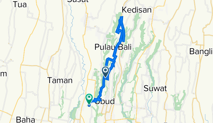
Ubud, Kecamatan Ubud to Jalan Penestanan Kelod 108, Kecamatan Ubud
A cycling route starting in Bunutan, Bali, Indonesia.
Overview
About this route
- 3 h 30 min
- Duration
- 23.5 km
- Distance
- 262 m
- Ascent
- 327 m
- Descent
- 6.7 km/h
- Avg. speed
- 448 m
- Max. altitude

Route quality
Waytypes & surfaces along the route
Waytypes
Road
12.7 km
(54 %)
Living street
3.5 km
(15 %)
Surfaces
Paved
9.2 km
(39 %)
Unpaved
0.5 km
(2 %)
Asphalt
7.3 km
(31 %)
Concrete
1.9 km
(8 %)
Continue with Bikemap
Use, edit, or download this cycling route
You would like to ride Ubud, Kecamatan Ubud to Jalan Penestanan Kelod 108, Kecamatan Ubud or customize it for your own trip? Here is what you can do with this Bikemap route:
Free features
- Save this route as favorite or in collections
- Copy & plan your own version of this route
- Sync your route with Garmin or Wahoo
Premium features
Free trial for 3 days, or one-time payment. More about Bikemap Premium.
- Navigate this route on iOS & Android
- Export a GPX / KML file of this route
- Create your custom printout (try it for free)
- Download this route for offline navigation
Discover more Premium features.
Get Bikemap PremiumFrom our community
Other popular routes starting in Bunutan
 Ubud, Gianyar to Ubud, Gianyar
- Distance
- 30.3 km
- Ascent
- 508 m
- Descent
- 507 m
- Location
- Bunutan, Bali, Indonesia
 Gang Mangening, Kecamatan Ubud to Jalan Suweta Br, Kecamatan Ubud
- Distance
- 37.1 km
- Ascent
- 394 m
- Descent
- 402 m
- Location
- Bunutan, Bali, Indonesia
 Jalan Raya Kedewatan 2, Gianyar to Jalan Raya Kedewatan 2, Gianyar
- Distance
- 27.6 km
- Ascent
- 554 m
- Descent
- 553 m
- Location
- Bunutan, Bali, Indonesia
 Recovered Route
- Distance
- 29 km
- Ascent
- 274 m
- Descent
- 274 m
- Location
- Bunutan, Bali, Indonesia
 Recovered Route
- Distance
- 18.6 km
- Ascent
- 1,083 m
- Descent
- 1,338 m
- Location
- Bunutan, Bali, Indonesia
 Abiansemal, Kabupaten Badung to Abiansemal, Kabupaten Badung
- Distance
- 5.6 km
- Ascent
- 552 m
- Descent
- 586 m
- Location
- Bunutan, Bali, Indonesia
 Ubud, Kecamatan Ubud to Jalan Penestanan Kelod 108, Kecamatan Ubud
- Distance
- 23.5 km
- Ascent
- 262 m
- Descent
- 327 m
- Location
- Bunutan, Bali, Indonesia
 All South NEW
- Distance
- 33.6 km
- Ascent
- 479 m
- Descent
- 477 m
- Location
- Bunutan, Bali, Indonesia
Open it in the app