Murafölde kör 3
- 219.8 km
- 2,889 m
- 2,891 m
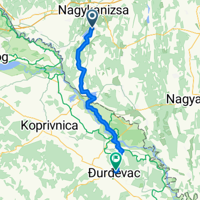
- Nagykanizsa, Zala County, Hungary
A cycling route starting in Nagykanizsa, Zala County, Hungary.
Overview
Passing through Bajcsa, Szepetnek, and Sormás. In Szepetnek, you can fill your water bottle at the artesian well.
created this 2 years ago


Route quality
Quiet road
11.6 km
(35 %)
Track
6.3 km
(19 %)
Paved
13.9 km
(42 %)
Unpaved
3.6 km
(11 %)
Asphalt
13.9 km
(42 %)
Unpaved (undefined)
2.3 km
(7 %)
Continue with Bikemap
You would like to ride Vörös-hegyi kör or customize it for your own trip? Here is what you can do with this Bikemap route:
Free trial for 3 days, or one-time payment. More about Bikemap Premium.
Discover more Premium features.
Get Bikemap PremiumFrom our community
Open it in the app