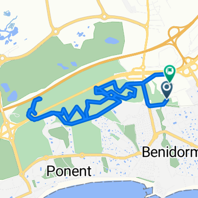
Benidorm (El Palmeral) - Relleu (Pura Vida)
- 23.8 km
- 965 m
- 509 m
- Benidorm, Valencia, Spain
A cycling route starting in Benidorm, Valencia, Spain.
Overview
created this 2 years ago


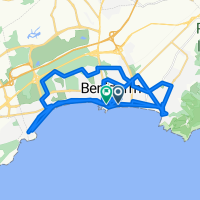
Route quality
Quiet road
18.5 km
(55 %)
Cycleway
5 km
(15 %)
Paved
11.4 km
(34 %)
Asphalt
11.4 km
(34 %)
Undefined
22.2 km
(66 %)
Continue with Bikemap
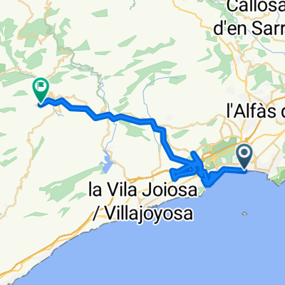
You would like to ride Calle Presidente Adolfo Suárez, Benidorm to Avinguda Europa, 10, Benidorm or customize it for your own trip? Here is what you can do with this Bikemap route:
Free trial for 3 days, or one-time payment. More about Bikemap Premium.
Discover more Premium features.
Get Bikemap PremiumFrom our community
Open it in the app