

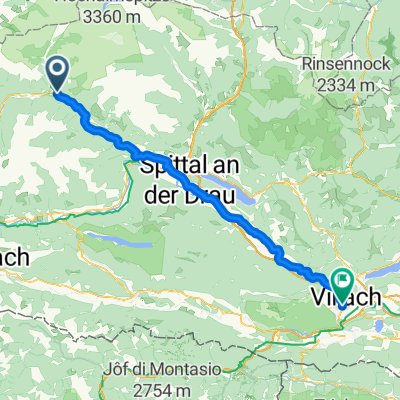
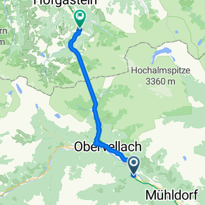
Tauernschleuse Spittal an der Drau
A cycling route starting in Obervellach, Carinthia, Austria.
Overview
About this route
- -:--
- Duration
- 42.8 km
- Distance
- 346 m
- Ascent
- 960 m
- Descent
- ---
- Avg. speed
- 1,185 m
- Max. altitude

Route quality
Waytypes & surfaces along the route
Waytypes
Quiet road
16.7 km
(39 %)
Track
6.9 km
(16 %)
Surfaces
Paved
37.3 km
(87 %)
Unpaved
5.1 km
(12 %)
Asphalt
37.3 km
(87 %)
Gravel
5.1 km
(12 %)
Undefined
0.4 km
(1 %)
Continue with Bikemap
Use, edit, or download this cycling route
You would like to ride Tauernschleuse Spittal an der Drau or customize it for your own trip? Here is what you can do with this Bikemap route:
Free features
- Save this route as favorite or in collections
- Copy & plan your own version of this route
- Sync your route with Garmin or Wahoo
Premium features
Free trial for 3 days, or one-time payment. More about Bikemap Premium.
- Navigate this route on iOS & Android
- Export a GPX / KML file of this route
- Create your custom printout (try it for free)
- Download this route for offline navigation
Discover more Premium features.
Get Bikemap PremiumFrom our community
Other popular routes starting in Obervellach
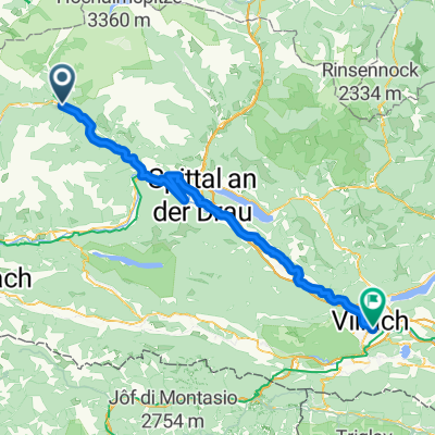
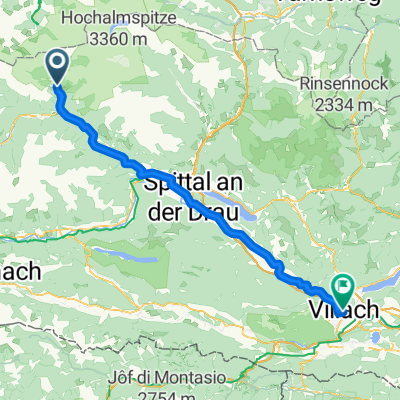
 Obervellach - Villach
- Distance
- 73.8 km
- Ascent
- 766 m
- Descent
- 962 m
- Location
- Obervellach, Carinthia, Austria
 Obervellach - Villach
- Distance
- 82.7 km
- Ascent
- 214 m
- Descent
- 409 m
- Location
- Obervellach, Carinthia, Austria
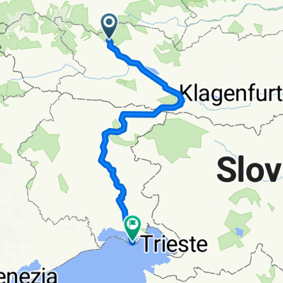
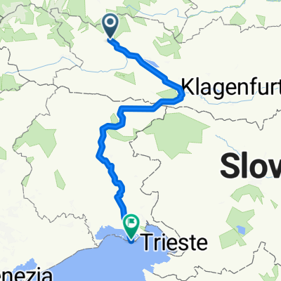 Von Obervellach bis Grado
- Distance
- 261.6 km
- Ascent
- 2,527 m
- Descent
- 3,208 m
- Location
- Obervellach, Carinthia, Austria
 Obervellach - Villach
- Distance
- 73.8 km
- Ascent
- 768 m
- Descent
- 962 m
- Location
- Obervellach, Carinthia, Austria
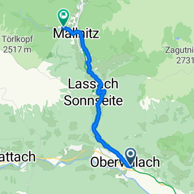 Obervellach to Mallnitz
- Distance
- 10.4 km
- Ascent
- 652 m
- Descent
- 101 m
- Location
- Obervellach, Carinthia, Austria
 Mallnitz nach Villach
- Distance
- 80.1 km
- Ascent
- 857 m
- Descent
- 1,534 m
- Location
- Obervellach, Carinthia, Austria
 Obervellach - Bad Gastein
- Distance
- 35.2 km
- Ascent
- 1,054 m
- Descent
- 690 m
- Location
- Obervellach, Carinthia, Austria
 Unbenannte Route
- Distance
- 269.4 km
- Ascent
- 2,633 m
- Descent
- 3,807 m
- Location
- Obervellach, Carinthia, Austria
Open it in the app