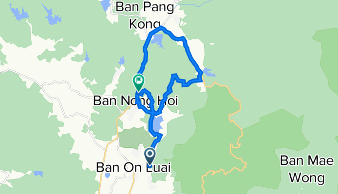
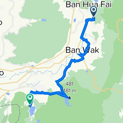
Ma On Mountain Loop
A cycling route starting in Mae On, Chiang Mai, Thailand.
Overview
About this route
This is a Hike and Bike route for experienced and adventurous riders. It is also a great walking route if you don't mind the section of road on the Route 1317. It starts with a fairly flat off road section before progressing onto village roads then onto the Route 1317 up a long steep hill. Leaving the 1317 onto a quieter village road, you take a right turn to join a track which leads to a steep right turn into the jungle on a trail which takes you up and over the mountain. It is very steep in places but possible to get your bike up if you are determined. I had excellent phone signal coverage throughout the mountain section which makes navigation easy but if you lose your signal or battery life, you can still compete it if you carefully follow the trail which is a little tricky in places. This is a moderately challenging route.
- -:--
- Duration
- 17.4 km
- Distance
- 400 m
- Ascent
- 377 m
- Descent
- ---
- Avg. speed
- 697 m
- Max. altitude
Route quality
Waytypes & surfaces along the route
Waytypes
Path
3.5 km
(20 %)
Track
3.3 km
(19 %)
Surfaces
Paved
10.3 km
(59 %)
Unpaved
6.8 km
(39 %)
Unpaved (undefined)
6.8 km
(39 %)
Paved (undefined)
5.8 km
(33 %)
Continue with Bikemap
Use, edit, or download this cycling route
You would like to ride Ma On Mountain Loop or customize it for your own trip? Here is what you can do with this Bikemap route:
Free features
- Save this route as favorite or in collections
- Copy & plan your own version of this route
- Sync your route with Garmin or Wahoo
Premium features
Free trial for 3 days, or one-time payment. More about Bikemap Premium.
- Navigate this route on iOS & Android
- Export a GPX / KML file of this route
- Create your custom printout (try it for free)
- Download this route for offline navigation
Discover more Premium features.
Get Bikemap PremiumFrom our community
Other popular routes starting in Mae On
 On Nuea, Mae On to On Nuea, Mae On
- Distance
- 0.1 km
- Ascent
- 0 m
- Descent
- 0 m
- Location
- Mae On, Chiang Mai, Thailand
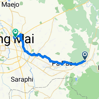 1317, Tambon Ban Sa Ha Khon nach Soi Mu Ban Kluai Mai 198, Tambon San Sai Noi
- Distance
- 33.9 km
- Ascent
- 160 m
- Descent
- 234 m
- Location
- Mae On, Chiang Mai, Thailand
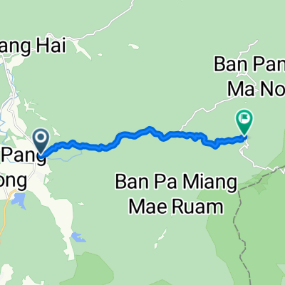 Thailand, ตำบล ห้วยแก้ว to Tambon Huai Kaeo
- Distance
- 10.1 km
- Ascent
- 595 m
- Descent
- 111 m
- Location
- Mae On, Chiang Mai, Thailand
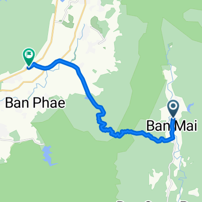 บ้านแม่ตะไคร้ to บ้านสหกรณ์หก
- Distance
- 13.6 km
- Ascent
- 315 m
- Descent
- 489 m
- Location
- Mae On, Chiang Mai, Thailand
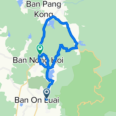 Ma On Mountain Loop
- Distance
- 17.4 km
- Ascent
- 400 m
- Descent
- 377 m
- Location
- Mae On, Chiang Mai, Thailand
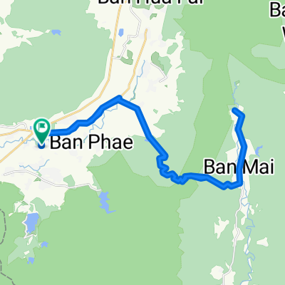 Chiangmai 1230 Climb
- Distance
- 40.1 km
- Ascent
- 715 m
- Descent
- 717 m
- Location
- Mae On, Chiang Mai, Thailand
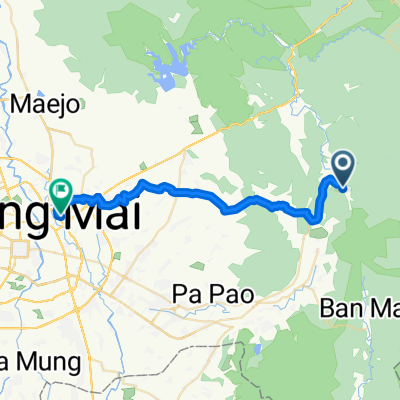 บ้านสหกรณ์ to Home
- Distance
- 40.1 km
- Ascent
- 281 m
- Descent
- 526 m
- Location
- Mae On, Chiang Mai, Thailand
 On Nuea, Mae On to On Tai, San Kamphaeng
- Distance
- 20.8 km
- Ascent
- 557 m
- Descent
- 591 m
- Location
- Mae On, Chiang Mai, Thailand
Open it in the app

