

Ottobrunn bis Pullach durch Perlacher Forst
A cycling route starting in Putzbrunn, Bavaria, Germany.
Overview
About this route
- 2 h 55 min
- Duration
- 41.8 km
- Distance
- 723 m
- Ascent
- 723 m
- Descent
- 14.3 km/h
- Avg. speed
- 587 m
- Max. altitude

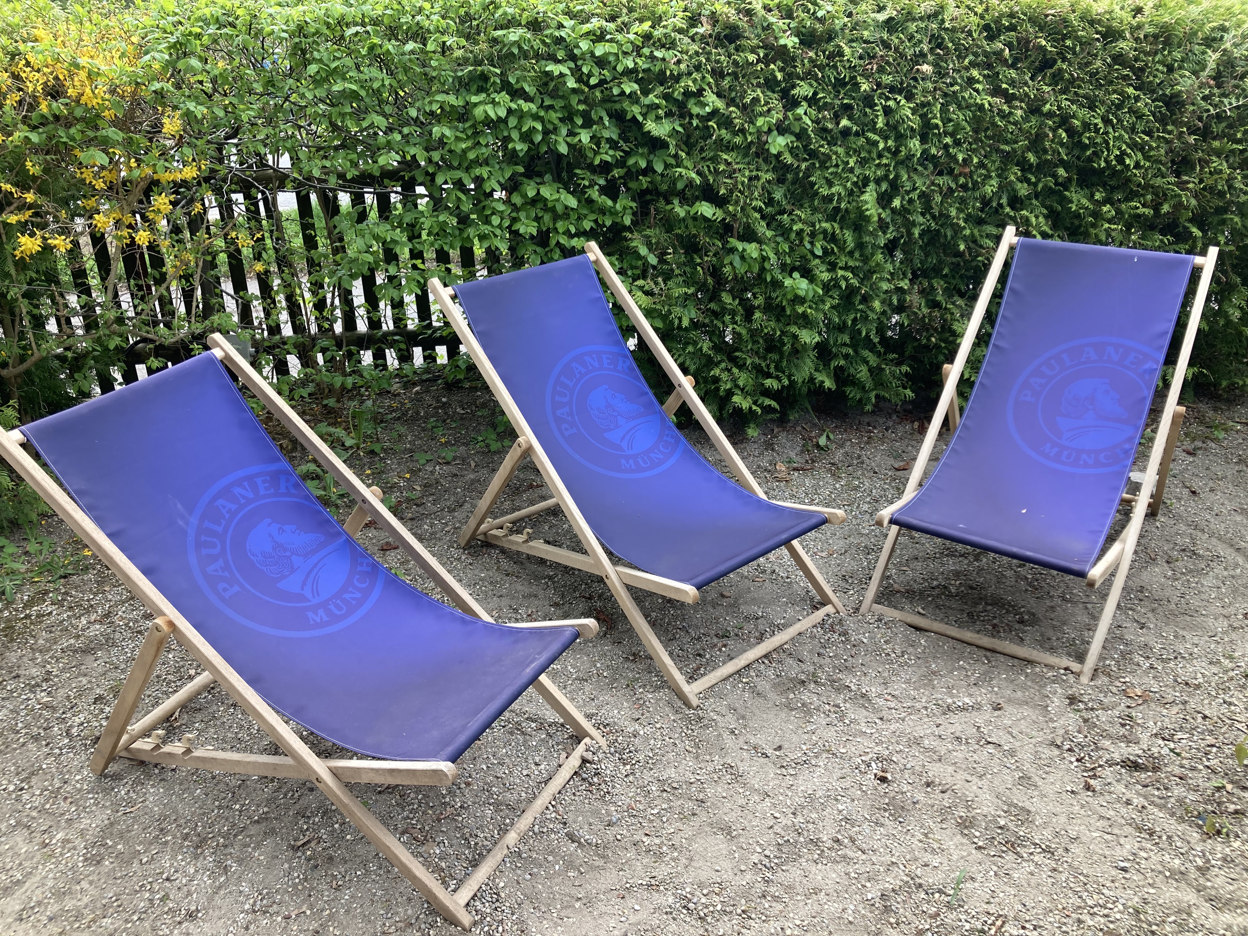
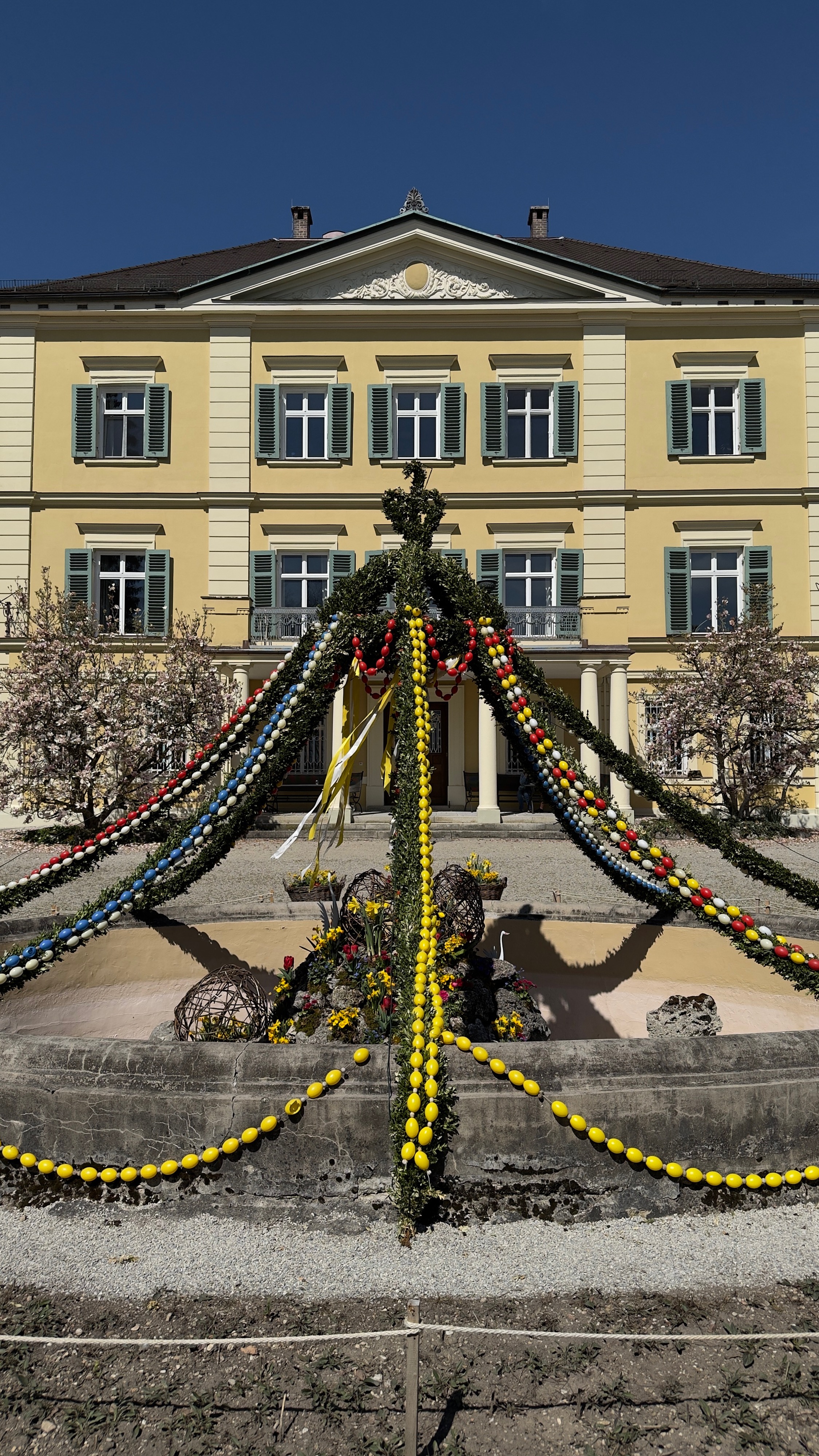
Route photos


Route quality
Waytypes & surfaces along the route
Waytypes
Path
15.5 km
(37 %)
Track
9.2 km
(22 %)
Surfaces
Paved
27.2 km
(65 %)
Unpaved
14.2 km
(34 %)
Asphalt
26.7 km
(64 %)
Loose gravel
6.7 km
(16 %)
Continue with Bikemap
Use, edit, or download this cycling route
You would like to ride Ottobrunn bis Pullach durch Perlacher Forst or customize it for your own trip? Here is what you can do with this Bikemap route:
Free features
- Save this route as favorite or in collections
- Copy & plan your own version of this route
- Sync your route with Garmin or Wahoo
Premium features
Free trial for 3 days, or one-time payment. More about Bikemap Premium.
- Navigate this route on iOS & Android
- Export a GPX / KML file of this route
- Create your custom printout (try it for free)
- Download this route for offline navigation
Discover more Premium features.
Get Bikemap PremiumFrom our community
Other popular routes starting in Putzbrunn
 Lilienthalstrasse, Unterhaching nach Ottobrunn
- Distance
- 20.9 km
- Ascent
- 73 m
- Descent
- 71 m
- Location
- Putzbrunn, Bavaria, Germany
 Kloster Zinneberg über HöSi, Glonn und Steinsee, Harthausen zurück
- Distance
- 47.8 km
- Ascent
- 623 m
- Descent
- 621 m
- Location
- Putzbrunn, Bavaria, Germany
 Ottobrunn nach Kloster Schäftlarn und an der Isar zurück
- Distance
- 56.4 km
- Ascent
- 772 m
- Descent
- 771 m
- Location
- Putzbrunn, Bavaria, Germany
 Ottobrunn nach Werksviertel München
- Distance
- 12.7 km
- Ascent
- 34 m
- Descent
- 61 m
- Location
- Putzbrunn, Bavaria, Germany
 Ottobrunn nach Schlacht 54, Kaffekanderl, Glonn
- Distance
- 17.6 km
- Ascent
- 136 m
- Descent
- 86 m
- Location
- Putzbrunn, Bavaria, Germany
 Ottobrunn bis Pullach durch Perlacher Forst
- Distance
- 41.8 km
- Ascent
- 723 m
- Descent
- 723 m
- Location
- Putzbrunn, Bavaria, Germany
 Sonntag_26_05
- Distance
- 42.7 km
- Ascent
- 224 m
- Descent
- 224 m
- Location
- Putzbrunn, Bavaria, Germany
 Samstagsrunde
- Distance
- 54.4 km
- Ascent
- 236 m
- Descent
- 233 m
- Location
- Putzbrunn, Bavaria, Germany
Open it in the app