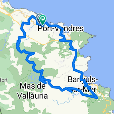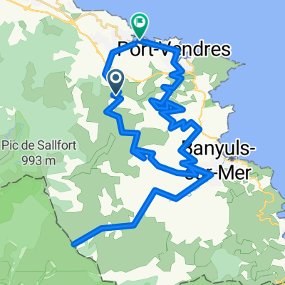
Col de Banyuls
- 56.1 km
- 2,229 m
- 2,457 m
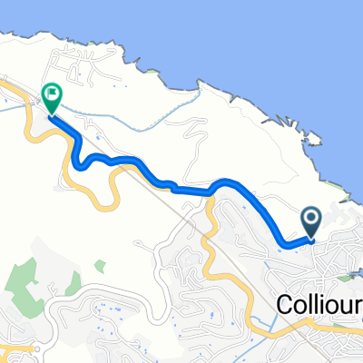
- Collioure, Occitanie, France
A cycling route starting in Collioure, Occitanie, France.
Overview
created this 2 years ago
Route quality
Quiet road
12.2 km
(51 %)
Path
1.4 km
(6 %)
Paved
17 km
(71 %)
Unpaved
1 km
(4 %)
Asphalt
17 km
(71 %)
Unpaved (undefined)
0.5 km
(2 %)
Continue with Bikemap
You would like to ride Collioure - Fort St. Elmo or customize it for your own trip? Here is what you can do with this Bikemap route:
Free trial for 3 days, or one-time payment. More about Bikemap Premium.
Discover more Premium features.
Get Bikemap PremiumFrom our community
Open it in the app