D 04 72km Eisenh.-Golzow
- 71.6 km
- 221 m
- 253 m
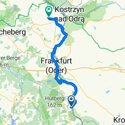
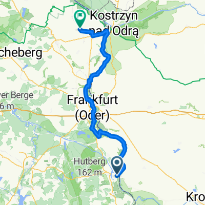
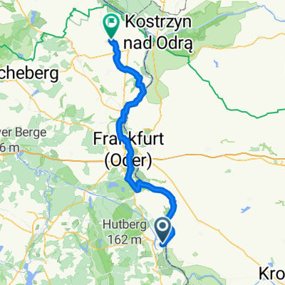
- Eisenhüttenstadt, Brandenburg, Germany
A cycling route starting in Eisenhüttenstadt, Brandenburg, Germany.
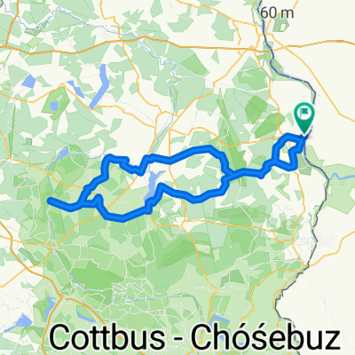
Overview
On the trail of the Cistercians - slightly modified. You can't just ride past the actual Schlaubetal.
Large parts of the tour are (somewhat) signposted. You simply follow the cycling monk on the monk's cycling path.
I then turned right into the woods at the NABU center at Schlaubetal and cycled up the Schlaube towards Müllrose.
With the variant through Schlaubetal, you are off the bike path, following forest paths that are, however, very passable. Otherwise, there are extremely well-developed bike paths, with only a few roads. In the towns, there are usually no bike paths. At the beginning of the journey, it is a bit hilly, and from Müllrose, it is flat land. A more than varied nature presents itself here, and in autumn, plenty of mushrooms.
created this 14 years ago
Route quality
Quiet road
27.1 km
(31 %)
Track
24.4 km
(28 %)
Paved
55 km
(63 %)
Unpaved
22.7 km
(26 %)
Asphalt
52.4 km
(60 %)
Ground
17.5 km
(20 %)
Continue with Bikemap
You would like to ride Mönchsradweg und Schlaubetal CLONED FROM ROUTE 439960 or customize it for your own trip? Here is what you can do with this Bikemap route:
Free trial for 3 days, or one-time payment. More about Bikemap Premium.
Discover more Premium features.
Get Bikemap PremiumFrom our community
Open it in the app