

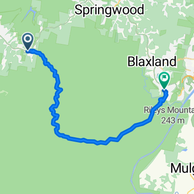
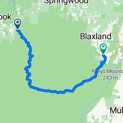
Woodford to The Oaks Trl, Blue Mountains National Park
A cycling route starting in Hazelbrook, New South Wales, Australia.
Overview
About this route
- 2 h 9 min
- Duration
- 31.1 km
- Distance
- 414 m
- Ascent
- 937 m
- Descent
- 14.5 km/h
- Avg. speed
- 621 m
- Max. altitude
Continue with Bikemap
Use, edit, or download this cycling route
You would like to ride Woodford to The Oaks Trl, Blue Mountains National Park or customize it for your own trip? Here is what you can do with this Bikemap route:
Free features
- Save this route as favorite or in collections
- Copy & plan your own version of this route
- Sync your route with Garmin or Wahoo
Premium features
Free trial for 3 days, or one-time payment. More about Bikemap Premium.
- Navigate this route on iOS & Android
- Export a GPX / KML file of this route
- Create your custom printout (try it for free)
- Download this route for offline navigation
Discover more Premium features.
Get Bikemap PremiumFrom our community
Other popular routes starting in Hazelbrook
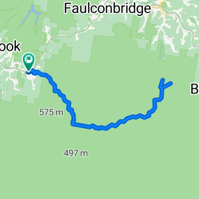
 24A Sir Henrys Parade, Faulconbridge to Faulconbridge Ridge Trl, Blue Mountains National Park
- Distance
- 11.8 km
- Ascent
- 190 m
- Descent
- 260 m
- Location
- Hazelbrook, New South Wales, Australia
 St. Helena Lookouts
- Distance
- 29.8 km
- Ascent
- 500 m
- Descent
- 500 m
- Location
- Hazelbrook, New South Wales, Australia
 Hillcrest Avenue 20, Faulconbridge to Adeline Street 27, Faulconbridge
- Distance
- 3.9 km
- Ascent
- 0 m
- Descent
- 12 m
- Location
- Hazelbrook, New South Wales, Australia
 The Oaks track
- Distance
- 26.5 km
- Ascent
- 239 m
- Descent
- 682 m
- Location
- Hazelbrook, New South Wales, Australia
 Great Western Highway 80, Woodford to Arden Street 52A, Clovelly
- Distance
- 108.5 km
- Ascent
- 971 m
- Descent
- 1,549 m
- Location
- Hazelbrook, New South Wales, Australia
 The Oaks
- Distance
- 26.1 km
- Ascent
- 244 m
- Descent
- 697 m
- Location
- Hazelbrook, New South Wales, Australia
 Woodford Oaks Trail, Blue Mountains National Park to Cross Street 3, Glenbrook
- Distance
- 26 km
- Ascent
- 364 m
- Descent
- 774 m
- Location
- Hazelbrook, New South Wales, Australia
 17/08 walk
- Distance
- 4.7 km
- Ascent
- 35 m
- Descent
- 69 m
- Location
- Hazelbrook, New South Wales, Australia
Open it in the app