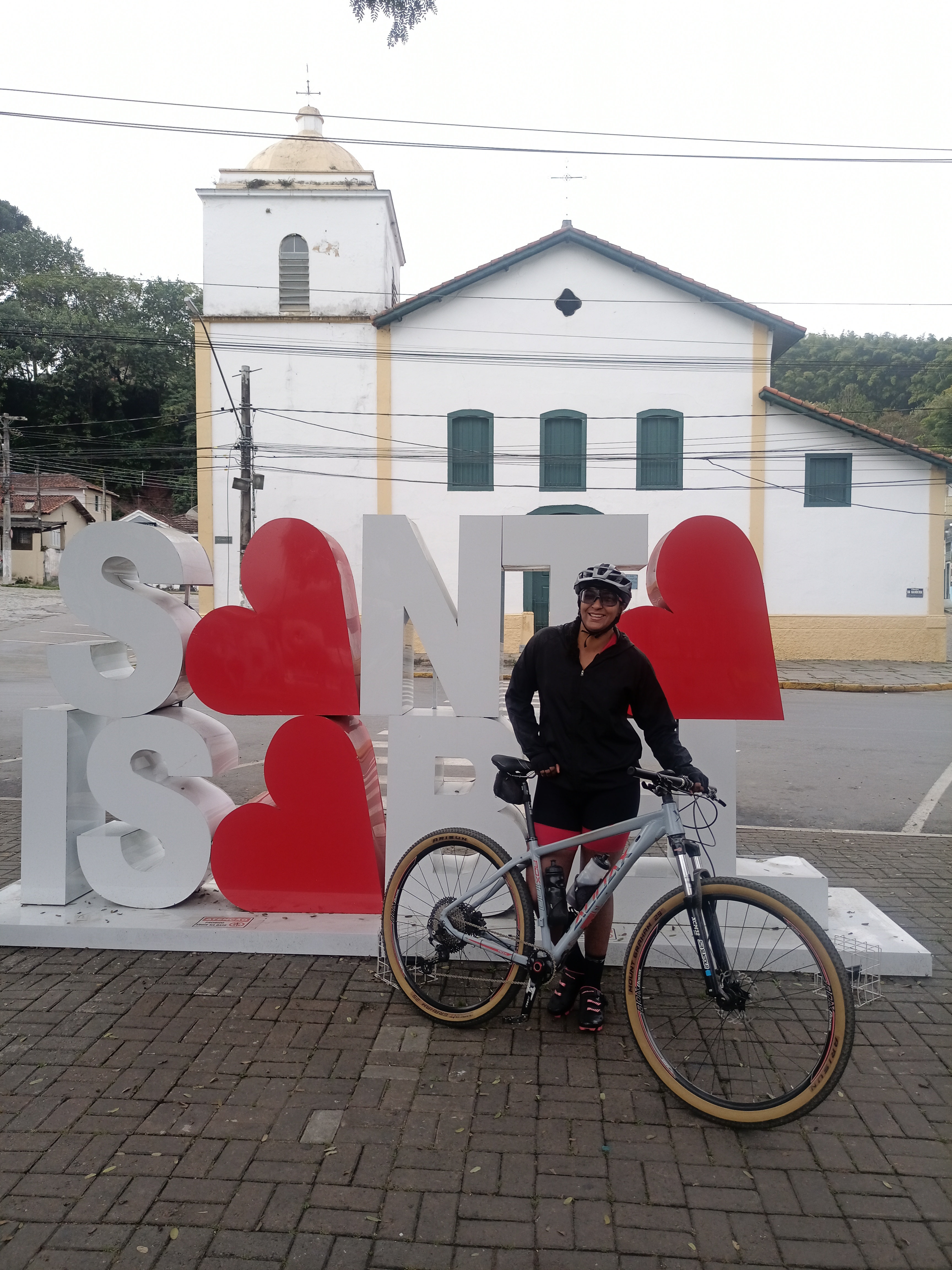
ota 66! 44km
A cycling route starting in Itaquaquecetuba, São Paulo, Brazil.
Overview
About this route
- 4 h 35 min
- Duration
- 84.4 km
- Distance
- 625 m
- Ascent
- 627 m
- Descent
- 18.4 km/h
- Avg. speed
- 842 m
- Max. altitude
Route photos
Continue with Bikemap
Use, edit, or download this cycling route
You would like to ride ota 66! 44km or customize it for your own trip? Here is what you can do with this Bikemap route:
Free features
- Save this route as favorite or in collections
- Copy & plan your own version of this route
- Split it into stages to create a multi-day tour
- Sync your route with Garmin or Wahoo
Premium features
Free trial for 3 days, or one-time payment. More about Bikemap Premium.
- Navigate this route on iOS & Android
- Export a GPX / KML file of this route
- Create your custom printout (try it for free)
- Download this route for offline navigation
Discover more Premium features.
Get Bikemap PremiumFrom our community
Other popular routes starting in Itaquaquecetuba
- Treino Itaberaba/PL.
- Distance
- 27.2 km
- Ascent
- 571 m
- Descent
- 559 m
- Location
- Itaquaquecetuba, São Paulo, Brazil
- Templo Budista
- Distance
- 18 km
- Ascent
- 0 m
- Descent
- 5 m
- Location
- Itaquaquecetuba, São Paulo, Brazil
- Desafio Aparecida 2014
- Distance
- 147.3 km
- Ascent
- 522 m
- Descent
- 731 m
- Location
- Itaquaquecetuba, São Paulo, Brazil
- Rota 66 como giro livre!
- Distance
- 42.5 km
- Ascent
- 627 m
- Descent
- 624 m
- Location
- Itaquaquecetuba, São Paulo, Brazil
- Itaberaba invertida.
- Distance
- 19.9 km
- Ascent
- 417 m
- Descent
- 420 m
- Location
- Itaquaquecetuba, São Paulo, Brazil
- Passeio de domingo!
- Distance
- 38.1 km
- Ascent
- 584 m
- Descent
- 581 m
- Location
- Itaquaquecetuba, São Paulo, Brazil
- pedal grupo giro livre.
- Distance
- 23.8 km
- Ascent
- 287 m
- Descent
- 269 m
- Location
- Itaquaquecetuba, São Paulo, Brazil
- Morro Inhangussu.
- Distance
- 19.8 km
- Ascent
- 559 m
- Descent
- 553 m
- Location
- Itaquaquecetuba, São Paulo, Brazil
Open it in the app