Transalp 2011 Tag 5
- 83.1 km
- 1,844 m
- 3,175 m
- Mazzin, Trentino-Alto Adige, Italy
A cycling route starting in Mazzin, Trentino-Alto Adige, Italy.
Overview
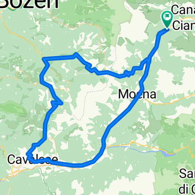
Starting point Mazzin, then the loop counterclockwise: Pordoj-Campolongo-Grödnerjoch-Sellajoch
At the entrance to Mazzin, there is a public & free parking lot on the left. From there, you go left between the motorcycles, nicely avoiding the line of cars until Canazei, where the ascent to Pordoj begins on the left.
On the way back to the car from Canazei, the same procedure...
created this 14 years ago
Continue with Bikemap
You would like to ride Sella-Runde (Startort Mazzin) or customize it for your own trip? Here is what you can do with this Bikemap route:
Free trial for 3 days, or one-time payment. More about Bikemap Premium.
Discover more Premium features.
Get Bikemap PremiumFrom our community
Open it in the app