Et茅 2023 - Etapes 5 脿 7
A cycling route starting in Barcelonnette, Provence-Alpes-C么te d'Azur Region, France.
Overview
About this route
- -:--
- Duration
- 102.3 km
- Distance
- 3,124 m
- Ascent
- 3,284 m
- Descent
- ---
- Avg. speed
- 2,442 m
- Avg. speed
Route quality
Waytypes & surfaces along the route
Waytypes
Busy road
75.8 km
(74 %)
Road
12.5 km
(12 %)
Surfaces
Paved
48.9 km
(48 %)
Unpaved
7.2 km
(7 %)
Asphalt
48.8 km
(48 %)
Gravel
7.2 km
(7 %)
Continue with Bikemap
Use, edit, or download this cycling route
You would like to ride Et茅 2023 - Etapes 5 脿 7 or customize it for your own trip? Here is what you can do with this Bikemap route:
Free features
- Save this route as favorite or in collections
- Copy & plan your own version of this route
- Sync your route with Garmin or Wahoo
Premium features
Free trial for 3 days, or one-time payment. More about Bikemap Premium.
- Navigate this route on iOS & Android
- Export a GPX / KML file of this route
- Create your custom printout (try it for free)
- Download this route for offline navigation
Discover more Premium features.
Get Bikemap PremiumFrom our community
Other popular routes starting in Barcelonnette
- Parque Nacional de Mercantour
- Distance
- 114.8 km
- Ascent
- 3,074 m
- Descent
- 3,074 m
- Location
- Barcelonnette, Provence-Alpes-C么te d'Azur Region, France
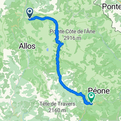
- Barcelonette Bonette
- Distance
- 183.5 km
- Ascent
- 4,521 m
- Descent
- 4,559 m
- Location
- Barcelonnette, Provence-Alpes-C么te d'Azur Region, France
- 3 Cols (Alos, Champs, Cayolle)
- Distance
- 115.2 km
- Ascent
- 3,187 m
- Descent
- 3,188 m
- Location
- Barcelonnette, Provence-Alpes-C么te d'Azur Region, France
- 2016 Ride Day 84 - Barcelonnette to Guillestre
- Distance
- 52.3 km
- Ascent
- 1,036 m
- Descent
- 1,124 m
- Location
- Barcelonnette, Provence-Alpes-C么te d'Azur Region, France
- Vars Pontis Jean
- Distance
- 122.3 km
- Ascent
- 1,868 m
- Descent
- 1,873 m
- Location
- Barcelonnette, Provence-Alpes-C么te d'Azur Region, France
- Allauch 8. Etappe
- Distance
- 92.5 km
- Ascent
- 1,242 m
- Descent
- 1,623 m
- Location
- Barcelonnette, Provence-Alpes-C么te d'Azur Region, France
- Col de la Bonette (2805 m)
- Distance
- 29.2 km
- Ascent
- 1,562 m
- Descent
- 93 m
- Location
- Barcelonnette, Provence-Alpes-C么te d'Azur Region, France
- RR Dingo Guillestre D6 123k
- Distance
- 122.3 km
- Ascent
- 6,484 m
- Descent
- 6,489 m
- Location
- Barcelonnette, Provence-Alpes-C么te d'Azur Region, France