

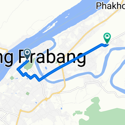
V4QR+FX7, Luang Prabang to XJGM+76Q, Vientiane
A cycling route starting in Luang Prabang, Luang Prabang Province, Laos.
Overview
About this route
- 34 h 19 min
- Duration
- 495.4 km
- Distance
- 10,754 m
- Ascent
- 10,866 m
- Descent
- 14.4 km/h
- Avg. speed
- 1,069 m
- Max. altitude

Route quality
Waytypes & surfaces along the route
Waytypes
Road
163.5 km
(33 %)
Quiet road
148.6 km
(30 %)
Surfaces
Paved
158.5 km
(32 %)
Unpaved
227.9 km
(46 %)
Unpaved (undefined)
203.1 km
(41 %)
Asphalt
113.9 km
(23 %)
Continue with Bikemap
Use, edit, or download this cycling route
You would like to ride V4QR+FX7, Luang Prabang to XJGM+76Q, Vientiane or customize it for your own trip? Here is what you can do with this Bikemap route:
Free features
- Save this route as favorite or in collections
- Copy & plan your own version of this route
- Split it into stages to create a multi-day tour
- Sync your route with Garmin or Wahoo
Premium features
Free trial for 3 days, or one-time payment. More about Bikemap Premium.
- Navigate this route on iOS & Android
- Export a GPX / KML file of this route
- Create your custom printout (try it for free)
- Download this route for offline navigation
Discover more Premium features.
Get Bikemap PremiumFrom our community
Other popular routes starting in Luang Prabang
 Phousi Road, Luang Prabang à 13, Kasy
- Distance
- 129.7 km
- Ascent
- 4,764 m
- Descent
- 4,642 m
- Location
- Luang Prabang, Luang Prabang Province, Laos
 Luang to Nong Khai
- Distance
- 373.1 km
- Ascent
- 2,350 m
- Descent
- 2,483 m
- Location
- Luang Prabang, Luang Prabang Province, Laos
 V4QR+FX7, Luang Prabang to XJGM+76Q, Vientiane
- Distance
- 495.4 km
- Ascent
- 10,754 m
- Descent
- 10,866 m
- Location
- Luang Prabang, Luang Prabang Province, Laos
 Luang Prabang to Vientiane by way of Pong Dong
- Distance
- 355.8 km
- Ascent
- 1,986 m
- Descent
- 2,125 m
- Location
- Luang Prabang, Luang Prabang Province, Laos
 Luang Prabang to Vientiane by way of Phoukoun
- Distance
- 399.7 km
- Ascent
- 2,773 m
- Descent
- 2,912 m
- Location
- Luang Prabang, Luang Prabang Province, Laos
 PR東南アジアday11
- Distance
- 4.3 km
- Ascent
- 43 m
- Descent
- 48 m
- Location
- Luang Prabang, Luang Prabang Province, Laos
 a. luang prabang - phoudam
- Distance
- 75.8 km
- Ascent
- 2,038 m
- Descent
- 940 m
- Location
- Luang Prabang, Luang Prabang Province, Laos
 luang prabang to vang vieng
- Distance
- 186.5 km
- Ascent
- 2,425 m
- Descent
- 2,312 m
- Location
- Luang Prabang, Luang Prabang Province, Laos
Open it in the app