

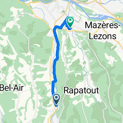
08-S. *Gan - La Couraduque (133 Km)
A cycling route starting in Gan, Nouvelle-Aquitaine, France.
Overview
About this route
- -:--
- Duration
- 133 km
- Distance
- 4,601 m
- Ascent
- 3,431 m
- Descent
- ---
- Avg. speed
- 1,709 m
- Max. altitude
Route quality
Waytypes & surfaces along the route
Waytypes
Road
29.3 km
(22 %)
Quiet road
26.6 km
(20 %)
Undefined
77.1 km
(58 %)
Surfaces
Paved
105.1 km
(79 %)
Asphalt
105.1 km
(79 %)
Undefined
27.9 km
(21 %)
Route highlights
Points of interest along the route
Point of interest after 46.2 km
Col d'AUBISQUE (1) Km 35,3 · 1.709 m
Point of interest after 56.4 km
Col de SOULOR (NP) Km 44,8 · 1.474 m
Point of interest after 80.3 km
Col de SPANDELLES (1) Km 68,5 · 1.380 m
Point of interest after 102.7 km
Sprint ARGELES-GAZOST Km 90
Point of interest after 119.3 km
Col des BORDÈRES (2) Km 106,7 · 1.156 m
Point of interest after 132.9 km
Col de LE COURADUQUE (1) Km 120 · 1.369 m
Continue with Bikemap
Use, edit, or download this cycling route
You would like to ride 08-S. *Gan - La Couraduque (133 Km) or customize it for your own trip? Here is what you can do with this Bikemap route:
Free features
- Save this route as favorite or in collections
- Copy & plan your own version of this route
- Split it into stages to create a multi-day tour
- Sync your route with Garmin or Wahoo
Premium features
Free trial for 3 days, or one-time payment. More about Bikemap Premium.
- Navigate this route on iOS & Android
- Export a GPX / KML file of this route
- Create your custom printout (try it for free)
- Download this route for offline navigation
Discover more Premium features.
Get Bikemap PremiumFrom our community
Other popular routes starting in Gan
 Route de Pau, Gan à Avenue de la République, Gelos
- Distance
- 6.5 km
- Ascent
- 38 m
- Descent
- 46 m
- Location
- Gan, Nouvelle-Aquitaine, France
 Tour d'Aqitaine Etape 3 : Gan - Pic du Midi de Bigorre
- Distance
- 122.3 km
- Ascent
- 3,970 m
- Descent
- 1,451 m
- Location
- Gan, Nouvelle-Aquitaine, France
 08-S. *Gan - La Couraduque (133 Km)
- Distance
- 133 km
- Ascent
- 4,601 m
- Descent
- 3,431 m
- Location
- Gan, Nouvelle-Aquitaine, France
 Gelos Toulouse
- Distance
- 215.7 km
- Ascent
- 1,193 m
- Descent
- 1,176 m
- Location
- Gan, Nouvelle-Aquitaine, France
 cap 2
cap 2- Distance
- 15.4 km
- Ascent
- 361 m
- Descent
- 358 m
- Location
- Gan, Nouvelle-Aquitaine, France
 Avenue Henri IV 40, Gan to Chemin du Salut 3, Lasseube
- Distance
- 9.9 km
- Ascent
- 249 m
- Descent
- 260 m
- Location
- Gan, Nouvelle-Aquitaine, France
 Soulor-Bordères-Spandelles
- Distance
- 138.6 km
- Ascent
- 3,490 m
- Descent
- 3,456 m
- Location
- Gan, Nouvelle-Aquitaine, France
 bat 80
- Distance
- 142.7 km
- Ascent
- 1,827 m
- Descent
- 1,801 m
- Location
- Gan, Nouvelle-Aquitaine, France
Open it in the app