

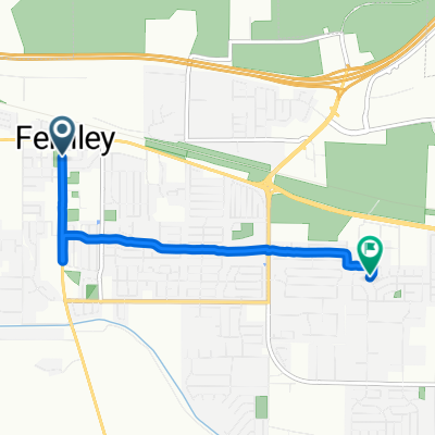
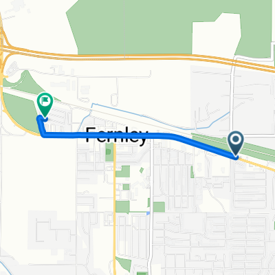
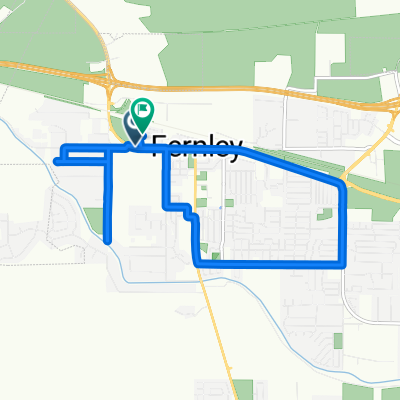
Relief Springs Road 112, Fernley to Relief Springs Road 112, Fernley
A cycling route starting in Fernley, Nevada, United States.
Overview
About this route
- 23 min
- Duration
- 2.6 km
- Distance
- 7 m
- Ascent
- 3 m
- Descent
- 6.9 km/h
- Avg. speed
- 1,260 m
- Max. altitude

Route photos

Route quality
Waytypes & surfaces along the route
Waytypes
Quiet road
1.8 km
(67 %)
Pedestrian area
0.9 km
(33 %)
Surfaces
Paved
0.8 km
(31 %)
Concrete
0.8 km
(31 %)
Undefined
1.8 km
(69 %)
Continue with Bikemap
Use, edit, or download this cycling route
You would like to ride Relief Springs Road 112, Fernley to Relief Springs Road 112, Fernley or customize it for your own trip? Here is what you can do with this Bikemap route:
Free features
- Save this route as favorite or in collections
- Copy & plan your own version of this route
- Sync your route with Garmin or Wahoo
Premium features
Free trial for 3 days, or one-time payment. More about Bikemap Premium.
- Navigate this route on iOS & Android
- Export a GPX / KML file of this route
- Create your custom printout (try it for free)
- Download this route for offline navigation
Discover more Premium features.
Get Bikemap PremiumFrom our community
Other popular routes starting in Fernley
 South Center Street to Brook Lane
- Distance
- 5.1 km
- Ascent
- 56 m
- Descent
- 34 m
- Location
- Fernley, Nevada, United States
 E Main St, Fernley to Cory Way, Fernley
- Distance
- 2.7 km
- Ascent
- 3 m
- Descent
- 3 m
- Location
- Fernley, Nevada, United States
 Marie Dr, Fernley to Cory Way, Fernley
- Distance
- 13.9 km
- Ascent
- 31 m
- Descent
- 30 m
- Location
- Fernley, Nevada, United States
 Route to 55 W Williams Ave, Fallon
- Distance
- 43.8 km
- Ascent
- 111 m
- Descent
- 170 m
- Location
- Fernley, Nevada, United States
 Route to 55 W Williams Ave, Fallon
- Distance
- 26.1 km
- Ascent
- 61 m
- Descent
- 69 m
- Location
- Fernley, Nevada, United States
 Morning
- Distance
- 9.9 km
- Ascent
- 65 m
- Descent
- 63 m
- Location
- Fernley, Nevada, United States
 Sunny Lane 565, Fernley to North Virginia Street 350, Reno
- Distance
- 62.6 km
- Ascent
- 810 m
- Descent
- 706 m
- Location
- Fernley, Nevada, United States
 Relief Springs Road 112, Fernley to Relief Springs Road 112, Fernley
- Distance
- 2.6 km
- Ascent
- 7 m
- Descent
- 3 m
- Location
- Fernley, Nevada, United States
Open it in the app