

Murradweg; vom Murursprung bis Leibnitz
A cycling route starting in Hüttschlag, Salzburg, Austria.
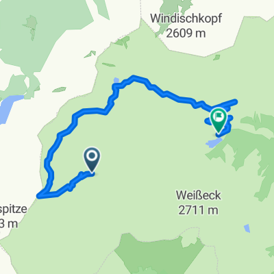
Overview
About this route
By bike to the Sticklerhütte, on foot (about 1 h) to the source of the Mur, along the Mur cycling route R2 (partly alternative route) to Leibnitz, 4-day tour with travel included.
- -:--
- Duration
- 309.5 km
- Distance
- 84 m
- Ascent
- 1,712 m
- Descent
- ---
- Avg. speed
- ---
- Max. altitude
Continue with Bikemap
Use, edit, or download this cycling route
You would like to ride Murradweg; vom Murursprung bis Leibnitz or customize it for your own trip? Here is what you can do with this Bikemap route:
Free features
- Save this route as favorite or in collections
- Copy & plan your own version of this route
- Split it into stages to create a multi-day tour
- Sync your route with Garmin or Wahoo
Premium features
Free trial for 3 days, or one-time payment. More about Bikemap Premium.
- Navigate this route on iOS & Android
- Export a GPX / KML file of this route
- Create your custom printout (try it for free)
- Download this route for offline navigation
Discover more Premium features.
Get Bikemap PremiumFrom our community
Other popular routes starting in Hüttschlag
 Lungau 02 Riedental Höhenweg
- Distance
- 13.7 km
- Ascent
- 731 m
- Descent
- 912 m
- Location
- Hüttschlag, Salzburg, Austria
 Gefahrene Strecke Murradweg 2012
- Distance
- 374.6 km
- Ascent
- 49 m
- Descent
- 1,736 m
- Location
- Hüttschlag, Salzburg, Austria
 Großarl
- Distance
- 17.9 km
- Ascent
- 67 m
- Descent
- 300 m
- Location
- Hüttschlag, Salzburg, Austria
 Hubalmrunde
- Distance
- 19.6 km
- Ascent
- 877 m
- Descent
- 876 m
- Location
- Hüttschlag, Salzburg, Austria
 Mur-Rad - 2
- Distance
- 46 km
- Ascent
- 29 m
- Descent
- 911 m
- Location
- Hüttschlag, Salzburg, Austria
 Austrai06
- Distance
- 48 km
- Ascent
- 175 m
- Descent
- 656 m
- Location
- Hüttschlag, Salzburg, Austria
 Wald 28, Zederhaus nach Poststraße 408, Sankt Michael im Lungau
- Distance
- 29.6 km
- Ascent
- 70 m
- Descent
- 729 m
- Location
- Hüttschlag, Salzburg, Austria
 Großarl - Speicher - Bad Gastein
- Distance
- 28.2 km
- Ascent
- 1,983 m
- Descent
- 2,000 m
- Location
- Hüttschlag, Salzburg, Austria
Open it in the app