Syren-De Haan direct
- 384.5 km
- 3,327 m
- 3,589 m
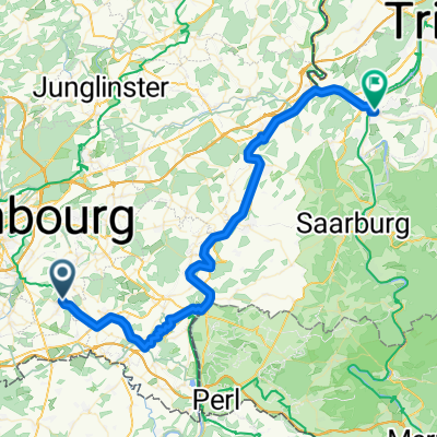
- Weiler-la-Tour, District de Luxembourg, Luxembourg
A cycling route starting in Weiler-la-Tour, District de Luxembourg, Luxembourg.
Overview
created this 2 years ago
Route quality
Quiet road
111.5 km
(29 %)
Cycleway
103.8 km
(27 %)
Paved
269.1 km
(70 %)
Unpaved
3.8 km
(1 %)
Asphalt
219.2 km
(57 %)
Concrete
42.3 km
(11 %)
Continue with Bikemap
You would like to ride Syren-De Haan direct or customize it for your own trip? Here is what you can do with this Bikemap route:
Free trial for 3 days, or one-time payment. More about Bikemap Premium.
Discover more Premium features.
Get Bikemap PremiumFrom our community
Open it in the app