

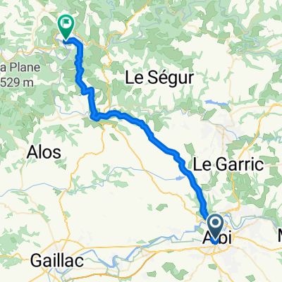
Open Tour. Etapa 1. Albi > Toulouse
A cycling route starting in Albi, Occitanie, France.
Overview
About this route
We start with an opportunity for sprinters in Toulouse, where the breakaway riders will hardly make it to the finish, despite the first thirds being favorable with numerous short climbs.
- -:--
- Duration
- 145.5 km
- Distance
- 1,081 m
- Ascent
- 1,109 m
- Descent
- ---
- Avg. speed
- 300 m
- Max. altitude

Route quality
Waytypes & surfaces along the route
Waytypes
Quiet road
48 km
(33 %)
Path
42.2 km
(29 %)
Surfaces
Paved
87.3 km
(60 %)
Unpaved
10.2 km
(7 %)
Asphalt
87.3 km
(60 %)
Gravel
7.3 km
(5 %)
Continue with Bikemap
Use, edit, or download this cycling route
You would like to ride Open Tour. Etapa 1. Albi > Toulouse or customize it for your own trip? Here is what you can do with this Bikemap route:
Free features
- Save this route as favorite or in collections
- Copy & plan your own version of this route
- Split it into stages to create a multi-day tour
- Sync your route with Garmin or Wahoo
Premium features
Free trial for 3 days, or one-time payment. More about Bikemap Premium.
- Navigate this route on iOS & Android
- Export a GPX / KML file of this route
- Create your custom printout (try it for free)
- Download this route for offline navigation
Discover more Premium features.
Get Bikemap PremiumFrom our community
Other popular routes starting in Albi
 Saint-Juéry - côte de Saint-Sernin
- Distance
- 98.6 km
- Ascent
- 3,184 m
- Descent
- 3,179 m
- Location
- Albi, Occitanie, France
 Albi - Cordes (route de campagne)
- Distance
- 56.5 km
- Ascent
- 647 m
- Descent
- 635 m
- Location
- Albi, Occitanie, France
 Open Tour. Etapa 1. Albi > Toulouse
- Distance
- 145.5 km
- Ascent
- 1,081 m
- Descent
- 1,109 m
- Location
- Albi, Occitanie, France
 Rue de l'Ort en Salvy nach D9
- Distance
- 43.1 km
- Ascent
- 743 m
- Descent
- 777 m
- Location
- Albi, Occitanie, France
 2012 French Tour -- Ride Day 60 -- 28 October 2012 -- Albi to Blagnac (Toulouse)
- Distance
- 97 km
- Ascent
- 243 m
- Descent
- 268 m
- Location
- Albi, Occitanie, France
 **17-X. Albi - Saint Flour (197,5 Km)
- Distance
- 197.3 km
- Ascent
- 3,336 m
- Descent
- 2,707 m
- Location
- Albi, Occitanie, France
 20150908_202842.gpx
- Distance
- 23.8 km
- Ascent
- 413 m
- Descent
- 82 m
- Location
- Albi, Occitanie, France
 2012 French Tour -- Ride Day 59 -- 25 October 2012 -- Albi -- Circle
- Distance
- 54.3 km
- Ascent
- 622 m
- Descent
- 622 m
- Location
- Albi, Occitanie, France
Open it in the app