
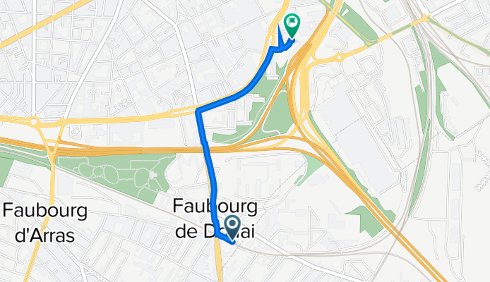
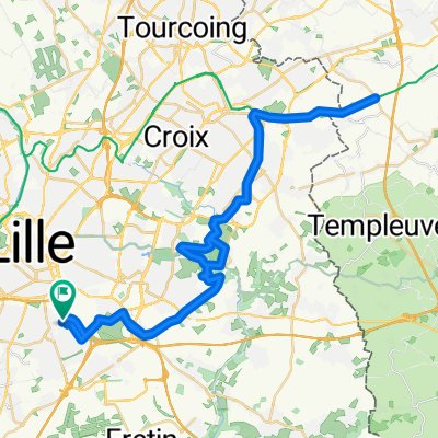
De Porte de Douai, Lille à Boulevard de Belfort, Lille
A cycling route starting in Ronchin, Nord-Pas-de-Calais-Picardie, France.
Overview
About this route
- 11 min
- Duration
- 1.5 km
- Distance
- 15 m
- Ascent
- 24 m
- Descent
- 7.8 km/h
- Avg. speed
- 32 m
- Avg. speed

Route quality
Waytypes & surfaces along the route
Waytypes
Busy road
0.7 km
(45 %)
Quiet road
0.4 km
(28 %)
Surfaces
Paved
1.4 km
(95 %)
Asphalt
1.3 km
(92 %)
Concrete
0 km
(3 %)
Undefined
0.1 km
(5 %)
Continue with Bikemap
Use, edit, or download this cycling route
You would like to ride De Porte de Douai, Lille à Boulevard de Belfort, Lille or customize it for your own trip? Here is what you can do with this Bikemap route:
Free features
- Save this route as favorite or in collections
- Copy & plan your own version of this route
- Sync your route with Garmin or Wahoo
Premium features
Free trial for 3 days, or one-time payment. More about Bikemap Premium.
- Navigate this route on iOS & Android
- Export a GPX / KML file of this route
- Create your custom printout (try it for free)
- Download this route for offline navigation
Discover more Premium features.
Get Bikemap PremiumFrom our community
Other popular routes starting in Ronchin
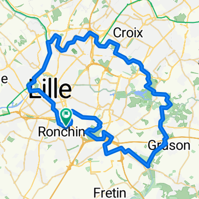
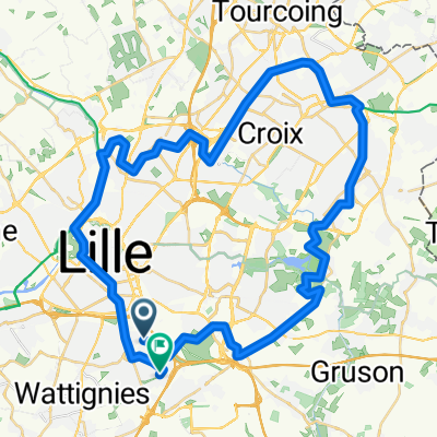 ROOBAY LOOP (via la Deûle et le canal)
- Distance
- 50 km
- Ascent
- 187 m
- Descent
- 224 m
- Location
- Ronchin, Nord-Pas-de-Calais-Picardie, France
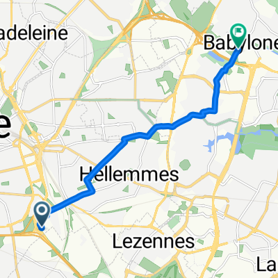
 Rue Berthelot, Lille à Rue Mirabeau, Lille
- Distance
- 4.6 km
- Ascent
- 7 m
- Descent
- 11 m
- Location
- Ronchin, Nord-Pas-de-Calais-Picardie, France
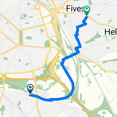
 101 Rue Sadi Carnot, Ronchin à 143–145 Rue Colbert, Villeneuve-d'Ascq
- Distance
- 7 km
- Ascent
- 11 m
- Descent
- 29 m
- Location
- Ronchin, Nord-Pas-de-Calais-Picardie, France
 EKLEKTIK LOOP (Marais, Forêt, Rivière, Lacs, Campagne, Périurbain...)
- Distance
- 44.1 km
- Ascent
- 189 m
- Descent
- 237 m
- Location
- Ronchin, Nord-Pas-de-Calais-Picardie, France
 BELGIUM TRACK (de Ronchin à Leers A/R)
- Distance
- 54.8 km
- Ascent
- 270 m
- Descent
- 318 m
- Location
- Ronchin, Nord-Pas-de-Calais-Picardie, France
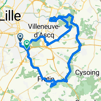
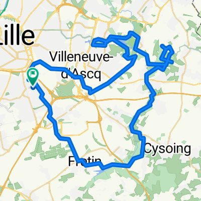
 Itinéraire modéré en Villeneuve-d'Ascq
- Distance
- 7 km
- Ascent
- 16 m
- Descent
- 24 m
- Location
- Ronchin, Nord-Pas-de-Calais-Picardie, France
 Ronchin>Golf>LaMarque>CanaldeRBX>Citadelle>Ronchin
- Distance
- 53.5 km
- Ascent
- 69 m
- Descent
- 69 m
- Location
- Ronchin, Nord-Pas-de-Calais-Picardie, France
 De Rue Matteotti 19, Ronchin à Rue Chalant 176, Ronchin
- Distance
- 52.6 km
- Ascent
- 284 m
- Descent
- 333 m
- Location
- Ronchin, Nord-Pas-de-Calais-Picardie, France
Open it in the app