

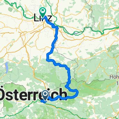
2011 Selzthal-Hieflau,durchs Gesäuse
A cycling route starting in Selzthal, Styria, Austria.
Overview
About this route
yes, the Enns Gorge... the Gesäuse National Park is worth seeing super summer weather, perfect, although mostly on the road, it works, the hike was actually unnecessary, you can see the narrowness from the road as well
the guesthouse is quite okay in Hieflau
that peak in the elevation profile over 900m is UNEXPLAINABLE nonsense, no idea what the system is doing here, it didn’t go straight up into the air!!
- -:--
- Duration
- 56.7 km
- Distance
- 678 m
- Ascent
- 820 m
- Descent
- ---
- Avg. speed
- ---
- Max. altitude
Route highlights
Points of interest along the route
Point of interest after 5.8 km
fledermaus bei tagirrflug!
Point of interest after 15.1 km
mal wieder die benediktiner mit nem kloster,mittagspause,super sommerwetter
Point of interest after 24.6 km
hängemattenpause
Point of interest after 26.9 km
wanderung auf dem proksch wanderweg bis zum gesäuseeingang
Point of interest after 30.3 km
kaffeepause
Point of interest after 56.6 km
pension international,ganz ok gutes essen
Continue with Bikemap
Use, edit, or download this cycling route
You would like to ride 2011 Selzthal-Hieflau,durchs Gesäuse or customize it for your own trip? Here is what you can do with this Bikemap route:
Free features
- Save this route as favorite or in collections
- Copy & plan your own version of this route
- Sync your route with Garmin or Wahoo
Premium features
Free trial for 3 days, or one-time payment. More about Bikemap Premium.
- Navigate this route on iOS & Android
- Export a GPX / KML file of this route
- Create your custom printout (try it for free)
- Download this route for offline navigation
Discover more Premium features.
Get Bikemap PremiumFrom our community
Other popular routes starting in Selzthal
 Ennstalradweg Selzthal Linz
- Distance
- 194.7 km
- Ascent
- 4,567 m
- Descent
- 4,951 m
- Location
- Selzthal, Styria, Austria
 Ennská stezka 🇦🇹 2021 - Den 4. - Selzthal - Sankt Gallen
- Distance
- 74.6 km
- Ascent
- 4,041 m
- Descent
- 4,168 m
- Location
- Selzthal, Styria, Austria
 Selzthal-Sölkpass-HirscheggerSattel-Pack-Köflach
- Distance
- 195.2 km
- Ascent
- 2,310 m
- Descent
- 2,498 m
- Location
- Selzthal, Styria, Austria
 2011 Selzthal-Hieflau,durchs Gesäuse
- Distance
- 56.7 km
- Ascent
- 678 m
- Descent
- 820 m
- Location
- Selzthal, Styria, Austria
 2020_Selztal-Spechtensee-Bad Mitterndorf
- Distance
- 58.8 km
- Ascent
- 898 m
- Descent
- 728 m
- Location
- Selzthal, Styria, Austria
 Selzthaler Radmarathon Familienstrecke
- Distance
- 15.7 km
- Ascent
- 103 m
- Descent
- 104 m
- Location
- Selzthal, Styria, Austria
 Salbergrunde
- Distance
- 21.4 km
- Ascent
- 728 m
- Descent
- 727 m
- Location
- Selzthal, Styria, Austria
 St. Michael
- Distance
- 197.2 km
- Ascent
- 1,551 m
- Descent
- 1,547 m
- Location
- Selzthal, Styria, Austria
Open it in the app