

Rejon - sumpango
A cycling route starting in Sumpango, Sacatepéquez Department, Guatemala.
Overview
About this route
- 1 h 17 min
- Duration
- 9 km
- Distance
- 461 m
- Ascent
- 589 m
- Descent
- 7 km/h
- Avg. speed
- 2,139 m
- Max. altitude
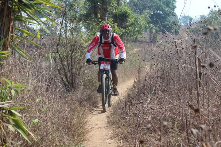
Route photos


Continue with Bikemap
Use, edit, or download this cycling route
You would like to ride Rejon - sumpango or customize it for your own trip? Here is what you can do with this Bikemap route:
Free features
- Save this route as favorite or in collections
- Copy & plan your own version of this route
- Sync your route with Garmin or Wahoo
Premium features
Free trial for 3 days, or one-time payment. More about Bikemap Premium.
- Navigate this route on iOS & Android
- Export a GPX / KML file of this route
- Create your custom printout (try it for free)
- Download this route for offline navigation
Discover more Premium features.
Get Bikemap PremiumFrom our community
Other popular routes starting in Sumpango
 Rejon - sumpango
- Distance
- 9 km
- Ascent
- 461 m
- Descent
- 589 m
- Location
- Sumpango, Sacatepéquez Department, Guatemala
 ojo de agua
- Distance
- 8.1 km
- Ascent
- 311 m
- Descent
- 303 m
- Location
- Sumpango, Sacatepéquez Department, Guatemala
 Ruta moderata
- Distance
- 9.1 km
- Ascent
- 352 m
- Descent
- 340 m
- Location
- Sumpango, Sacatepéquez Department, Guatemala
 cochera-rejon-sumpango
- Distance
- 13.7 km
- Ascent
- 724 m
- Descent
- 705 m
- Location
- Sumpango, Sacatepéquez Department, Guatemala
 Circuito 5 aldeas
- Distance
- 16.2 km
- Ascent
- 726 m
- Descent
- 726 m
- Location
- Sumpango, Sacatepéquez Department, Guatemala
 Circuito 5 Aldeas
- Distance
- 16.2 km
- Ascent
- 510 m
- Descent
- 507 m
- Location
- Sumpango, Sacatepéquez Department, Guatemala
 Sumpango - La Cementera
- Distance
- 31.1 km
- Ascent
- 738 m
- Descent
- 752 m
- Location
- Sumpango, Sacatepéquez Department, Guatemala
 Doble pista Sumpango -Antigua G.
- Distance
- 38.7 km
- Ascent
- 580 m
- Descent
- 645 m
- Location
- Sumpango, Sacatepéquez Department, Guatemala
Open it in the app