
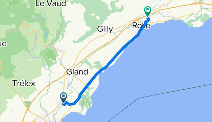
Chemin des Morettes 15B, Prangins à Route du Lac 12B, Mont-sur-Rolle
A cycling route starting in Prangins, Canton of Vaud, Switzerland.
Overview
About this route
- 32 min
- Duration
- 11.4 km
- Distance
- 57 m
- Ascent
- 72 m
- Descent
- 21.7 km/h
- Avg. speed
- 429 m
- Max. altitude

Route quality
Waytypes & surfaces along the route
Waytypes
Busy road
4.4 km
(39 %)
Quiet road
3.8 km
(33 %)
Surfaces
Paved
6 km
(53 %)
Unpaved
0.1 km
(<1 %)
Asphalt
6 km
(53 %)
Unpaved (undefined)
0.1 km
(<1 %)
Undefined
5.3 km
(46 %)
Continue with Bikemap
Use, edit, or download this cycling route
You would like to ride Chemin des Morettes 15B, Prangins à Route du Lac 12B, Mont-sur-Rolle or customize it for your own trip? Here is what you can do with this Bikemap route:
Free features
- Save this route as favorite or in collections
- Copy & plan your own version of this route
- Sync your route with Garmin or Wahoo
Premium features
Free trial for 3 days, or one-time payment. More about Bikemap Premium.
- Navigate this route on iOS & Android
- Export a GPX / KML file of this route
- Create your custom printout (try it for free)
- Download this route for offline navigation
Discover more Premium features.
Get Bikemap PremiumFrom our community
Other popular routes starting in Prangins
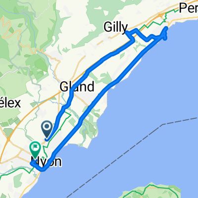 Recovered Route
- Distance
- 26.4 km
- Ascent
- 200 m
- Descent
- 215 m
- Location
- Prangins, Canton of Vaud, Switzerland
 De Avenue Général Guiguer 3, Prangins à Avenue Général-Guisan 38, Rolle
- Distance
- 17 km
- Ascent
- 136 m
- Descent
- 146 m
- Location
- Prangins, Canton of Vaud, Switzerland
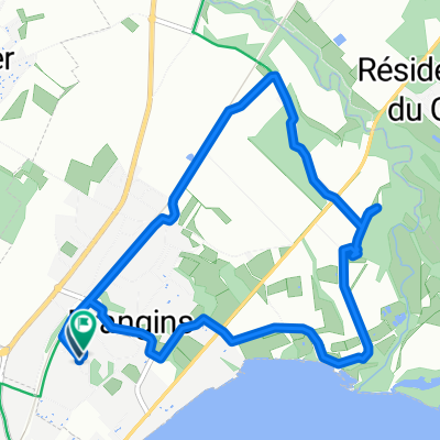
 Route stable en Nyon
- Distance
- 10.4 km
- Ascent
- 113 m
- Descent
- 62 m
- Location
- Prangins, Canton of Vaud, Switzerland
 Chemin des Morettes 15B, Prangins à Route du Lac 12B, Mont-sur-Rolle
- Distance
- 11.4 km
- Ascent
- 57 m
- Descent
- 72 m
- Location
- Prangins, Canton of Vaud, Switzerland
 Commute
- Distance
- 26.5 km
- Ascent
- 231 m
- Descent
- 199 m
- Location
- Prangins, Canton of Vaud, Switzerland
 19.6.
19.6.- Distance
- 7.9 km
- Ascent
- 44 m
- Descent
- 47 m
- Location
- Prangins, Canton of Vaud, Switzerland
 CH21-10 Prangins-Geneve
- Distance
- 28.8 km
- Ascent
- 155 m
- Descent
- 190 m
- Location
- Prangins, Canton of Vaud, Switzerland
 De Route de Promenthoux 4, Prangins à Rue des Coopératives 10, Meyrin
- Distance
- 36.5 km
- Ascent
- 254 m
- Descent
- 209 m
- Location
- Prangins, Canton of Vaud, Switzerland
Open it in the app