

01-Sylt-Nord-54km
A cycling route starting in Tinnum, Schleswig-Holstein, Germany.
Overview
About this route
- -:--
- Duration
- 53.4 km
- Distance
- 152 m
- Ascent
- 152 m
- Descent
- ---
- Avg. speed
- 26 m
- Max. altitude

Route quality
Waytypes & surfaces along the route
Waytypes
Path
28.8 km
(54 %)
Quiet road
14.9 km
(28 %)
Surfaces
Paved
42.7 km
(80 %)
Unpaved
6.4 km
(12 %)
Asphalt
37.4 km
(70 %)
Sand
4.8 km
(9 %)
Route highlights
Points of interest along the route
Point of interest after 0 km
Tinnum
Point of interest after 4.6 km
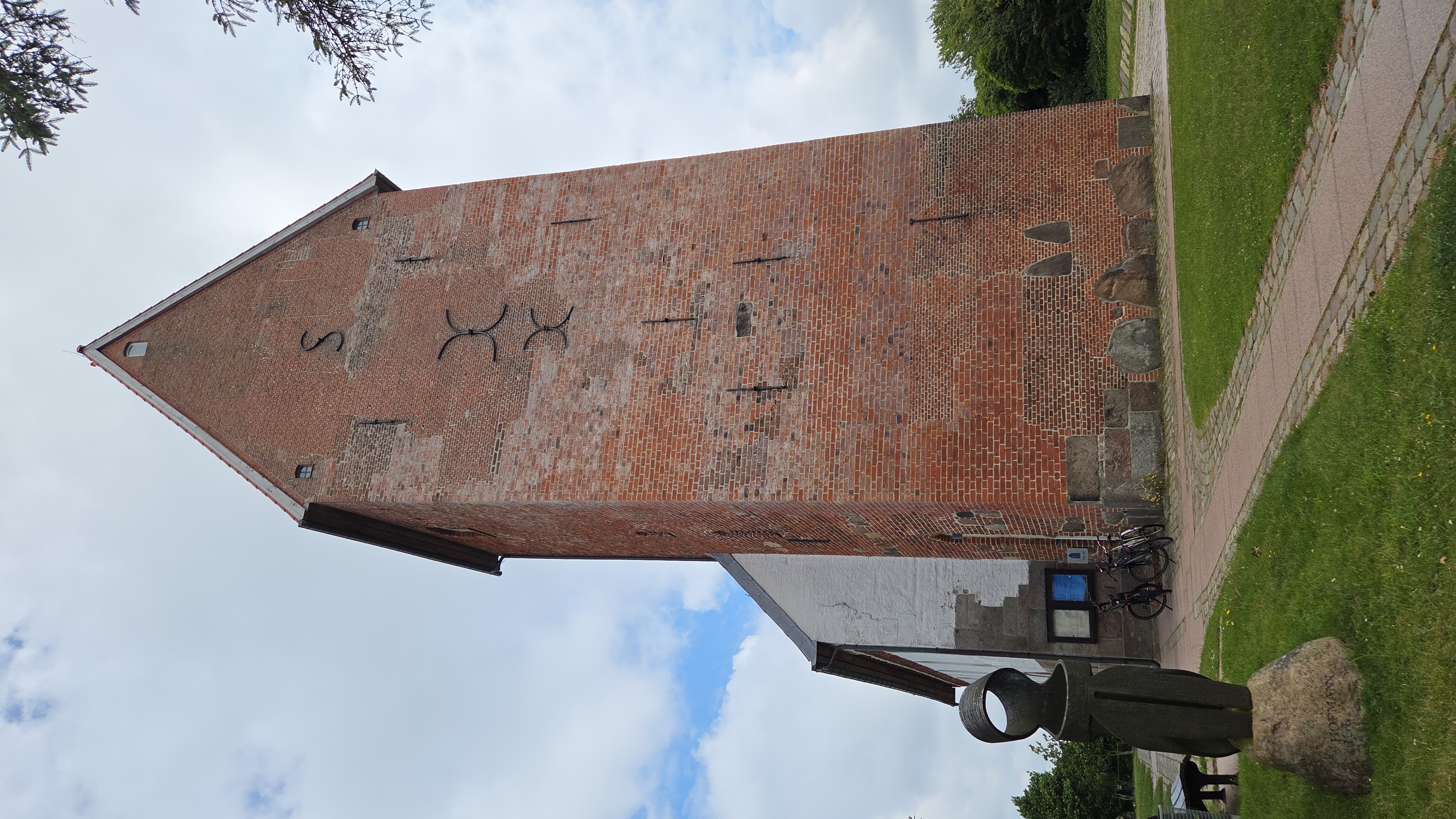
Keitum
Point of interest after 9.1 km
Braderup
Point of interest after 11.8 km
Kupferpfanne, Bäckerei-Cafe
Point of interest after 23.2 km
List
Point of interest after 24 km
Gosch-Fischrestaurant
Point of interest after 29.6 km
Ellenbogenberg
Point of interest after 39.1 km
Altes Quermarkenfeuer Rotes Kliff
Point of interest after 40.3 km
Rotes Kliff
Point of interest after 40.6 km
Steingrab 180 & Wachtmannhoog
Point of interest after 41.3 km
Uwe-Düne 53m
Point of interest after 42.2 km
Kampen
Point of interest after 44.3 km
Steinzeitgrab Denghoog
Point of interest after 44.4 km
Friesenkapelle
Point of interest after 45.2 km
Wenningstedt
Point of interest after 45.6 km
Ausblick auf Strand und Nordsee
Point of interest after 47.3 km
Aussichtsplattform
Point of interest after 47.6 km
Asklepios Nordseeklinik
Point of interest after 48.6 km
Essen: "Seenot"
Point of interest after 48.9 km
Bäckerei Raffelhüschen
Point of interest after 50.1 km
Westerland
Continue with Bikemap
Use, edit, or download this cycling route
You would like to ride 01-Sylt-Nord-54km or customize it for your own trip? Here is what you can do with this Bikemap route:
Free features
- Save this route as favorite or in collections
- Copy & plan your own version of this route
- Sync your route with Garmin or Wahoo
Premium features
Free trial for 3 days, or one-time payment. More about Bikemap Premium.
- Navigate this route on iOS & Android
- Export a GPX / KML file of this route
- Create your custom printout (try it for free)
- Download this route for offline navigation
Discover more Premium features.
Get Bikemap PremiumFrom our community
Other popular routes starting in Tinnum
 7. 2018 List Jugendherberge - Westerland Hbf
- Distance
- 33.1 km
- Ascent
- 49 m
- Descent
- 67 m
- Location
- Tinnum, Schleswig-Holstein, Germany
 Liiger Hörn 68, Sylt nach Liiger Hörn 68, Sylt
- Distance
- 16.6 km
- Ascent
- 43 m
- Descent
- 41 m
- Location
- Tinnum, Schleswig-Holstein, Germany
 Route nach Alte Dorfstraße 7, Wenningstedt-Braderup
- Distance
- 8.6 km
- Ascent
- 0 m
- Descent
- 4 m
- Location
- Tinnum, Schleswig-Holstein, Germany
 Morsumer Kliff und zurück
- Distance
- 36.2 km
- Ascent
- 22 m
- Descent
- 21 m
- Location
- Tinnum, Schleswig-Holstein, Germany
 Campingplatz nach Campingplatz
- Distance
- 33.7 km
- Ascent
- 84 m
- Descent
- 128 m
- Location
- Tinnum, Schleswig-Holstein, Germany
 Campingplatz nach Campingplatz
- Distance
- 70.7 km
- Ascent
- 179 m
- Descent
- 219 m
- Location
- Tinnum, Schleswig-Holstein, Germany
 Campingplatz 333E nach Campingplatz
- Distance
- 32.6 km
- Ascent
- 55 m
- Descent
- 101 m
- Location
- Tinnum, Schleswig-Holstein, Germany
 Westerland
- Distance
- 18.9 km
- Ascent
- 4 m
- Descent
- 4 m
- Location
- Tinnum, Schleswig-Holstein, Germany
Open it in the app