
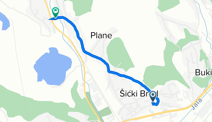
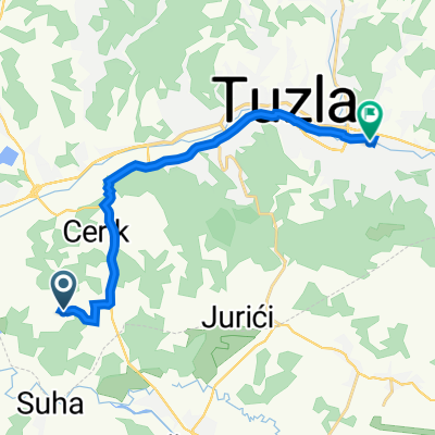
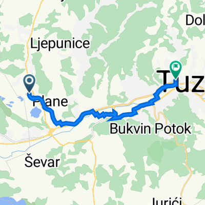
21. aprila 62 - 64, Tuzla to Plane, Tuzla
A cycling route starting in Kiseljak, Federation of Bosnia and Herzegovina, Bosnia and Herzegovina.
Overview
About this route
- 13 min
- Duration
- 2.3 km
- Distance
- 28 m
- Ascent
- 34 m
- Descent
- 10.7 km/h
- Avg. speed
- 236 m
- Max. altitude
Route quality
Waytypes & surfaces along the route
Waytypes
Quiet road
2 km
(88 %)
Access road
0.3 km
(12 %)
Undefined
-0 km
(<1 %)
Surfaces
Paved
1 km
(45 %)
Asphalt
1 km
(45 %)
Undefined
1.3 km
(55 %)
Continue with Bikemap
Use, edit, or download this cycling route
You would like to ride 21. aprila 62 - 64, Tuzla to Plane, Tuzla or customize it for your own trip? Here is what you can do with this Bikemap route:
Free features
- Save this route as favorite or in collections
- Copy & plan your own version of this route
- Sync your route with Garmin or Wahoo
Premium features
Free trial for 3 days, or one-time payment. More about Bikemap Premium.
- Navigate this route on iOS & Android
- Export a GPX / KML file of this route
- Create your custom printout (try it for free)
- Download this route for offline navigation
Discover more Premium features.
Get Bikemap PremiumFrom our community
Other popular routes starting in Kiseljak
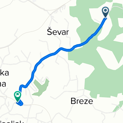 Husinske partizanske čete 84 to Prvomajska
- Distance
- 2.6 km
- Ascent
- 49 m
- Descent
- 33 m
- Location
- Kiseljak, Federation of Bosnia and Herzegovina, Bosnia and Herzegovina
 Bosnija 13.diena Lukavac-Rijeka
- Distance
- 73.4 km
- Ascent
- 665 m
- Descent
- 528 m
- Location
- Kiseljak, Federation of Bosnia and Herzegovina, Bosnia and Herzegovina
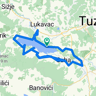
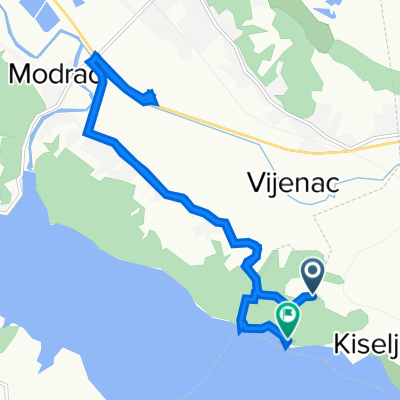
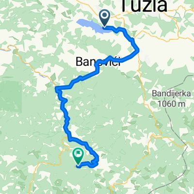 Modračko jezero - Živinice - Banovići - Ribnica Dio - Solun - Očevija
- Distance
- 79.5 km
- Ascent
- 1,167 m
- Descent
- 564 m
- Location
- Kiseljak, Federation of Bosnia and Herzegovina, Bosnia and Herzegovina
 Salcano cup Tuzla
- Distance
- 5.6 km
- Ascent
- 229 m
- Descent
- 225 m
- Location
- Kiseljak, Federation of Bosnia and Herzegovina, Bosnia and Herzegovina
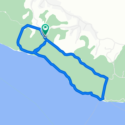
 Oko jezera
- Distance
- 130.8 km
- Ascent
- 586 m
- Descent
- 586 m
- Location
- Kiseljak, Federation of Bosnia and Herzegovina, Bosnia and Herzegovina
 Cesta bez naziva to Cesta bez naziva
- Distance
- 14.6 km
- Ascent
- 98 m
- Descent
- 208 m
- Location
- Kiseljak, Federation of Bosnia and Herzegovina, Bosnia and Herzegovina
 Route to Izeta Sarajlića C9, Tuzla
- Distance
- 14.3 km
- Ascent
- 121 m
- Descent
- 161 m
- Location
- Kiseljak, Federation of Bosnia and Herzegovina, Bosnia and Herzegovina
 Route to Slatina 5, Tuzla
- Distance
- 10.7 km
- Ascent
- 87 m
- Descent
- 98 m
- Location
- Kiseljak, Federation of Bosnia and Herzegovina, Bosnia and Herzegovina
Open it in the app