
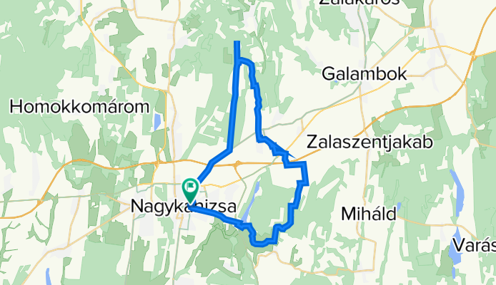
Látóhegy - Gáspár-hegy - Nagyrécse - Bacónaki-hegy - Cserfő
A cycling route starting in Nagykanizsa, Zala County, Hungary.
Overview
About this route
The route is mostly gravel, but it is passable.
- -:--
- Duration
- 33.4 km
- Distance
- 391 m
- Ascent
- 390 m
- Descent
- ---
- Avg. speed
- 295 m
- Max. altitude

Route photos


Route quality
Waytypes & surfaces along the route
Waytypes
Quiet road
13.7 km
(41 %)
Track
11.4 km
(34 %)
Surfaces
Paved
15.4 km
(46 %)
Unpaved
4.3 km
(13 %)
Asphalt
15 km
(45 %)
Gravel
4 km
(12 %)
Continue with Bikemap
Use, edit, or download this cycling route
You would like to ride Látóhegy - Gáspár-hegy - Nagyrécse - Bacónaki-hegy - Cserfő or customize it for your own trip? Here is what you can do with this Bikemap route:
Free features
- Save this route as favorite or in collections
- Copy & plan your own version of this route
- Sync your route with Garmin or Wahoo
Premium features
Free trial for 3 days, or one-time payment. More about Bikemap Premium.
- Navigate this route on iOS & Android
- Export a GPX / KML file of this route
- Create your custom printout (try it for free)
- Download this route for offline navigation
Discover more Premium features.
Get Bikemap PremiumFrom our community
Other popular routes starting in Nagykanizsa
 Tengerre magyar 1.st day
- Distance
- 174.9 km
- Ascent
- 410 m
- Descent
- 437 m
- Location
- Nagykanizsa, Zala County, Hungary
 Murafölde kör 3
- Distance
- 219.8 km
- Ascent
- 2,889 m
- Descent
- 2,891 m
- Location
- Nagykanizsa, Zala County, Hungary
 Murafölde kör 1
- Distance
- 220.7 km
- Ascent
- 1,244 m
- Descent
- 1,244 m
- Location
- Nagykanizsa, Zala County, Hungary
 Látóhegy - Gáspár-hegy - Nagyrécse - Bacónaki-hegy - Cserfő
- Distance
- 33.4 km
- Ascent
- 391 m
- Descent
- 390 m
- Location
- Nagykanizsa, Zala County, Hungary
 Murafölde kör 2
- Distance
- 222 km
- Ascent
- 3,042 m
- Descent
- 3,043 m
- Location
- Nagykanizsa, Zala County, Hungary
 Mórichelyi kör
- Distance
- 31 km
- Ascent
- 402 m
- Descent
- 402 m
- Location
- Nagykanizsa, Zala County, Hungary
 Börzönce1
- Distance
- 65.4 km
- Ascent
- 327 m
- Descent
- 327 m
- Location
- Nagykanizsa, Zala County, Hungary
 Obornak Várdomb kör
- Distance
- 14.7 km
- Ascent
- 343 m
- Descent
- 349 m
- Location
- Nagykanizsa, Zala County, Hungary
Open it in the app