2013 Pajares
- 111.4 km
- 2,259 m
- 2,282 m
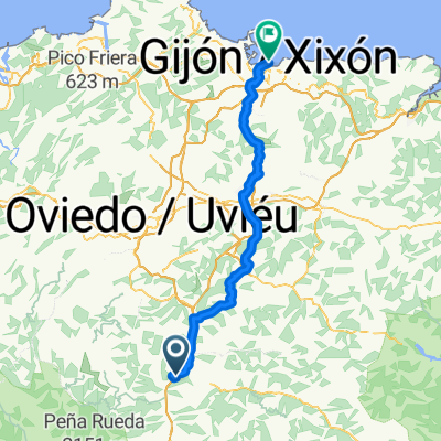
- Pola de Lena, Principality of Asturias, Spain
A cycling route starting in Pola de Lena, Principality of Asturias, Spain.
Overview
Doble ascensión a La Cobertoria, (9 kms al 9,5% y 18 kms al 5%), El Cordal (5,5 kms al 9,2%), (L´Angliru 13 kms 9,6 %), El Cordal (8 kms al 6%) con inicio y llegada en Pola de Lena.
created this 2 years ago
Route quality
Road
26 km
(25 %)
Quiet road
23.9 km
(23 %)
Undefined
54.1 km
(52 %)
Paved
85.3 km
(82 %)
Asphalt
85.3 km
(82 %)
Undefined
18.7 km
(18 %)
Route highlights
INICIO. Ayuntamiento de Lena
FINAL. Ayuntamiento de Lena
Continue with Bikemap
You would like to ride RUTA 1. casi 4.000 metros en 100 kms or customize it for your own trip? Here is what you can do with this Bikemap route:
Free trial for 3 days, or one-time payment. More about Bikemap Premium.
Discover more Premium features.
Get Bikemap PremiumFrom our community
Open it in the app