
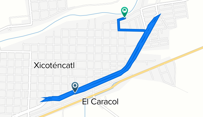
Calle Libramiento Doctor Rodolfo Torre Cantú 202–216, Xicoténcatl a Calle Diego Rivera 449–462, Xicoténcatl
A cycling route starting in Xicoténcatl, Tamaulipas, Mexico.
Overview
About this route
- 1 h 13 min
- Duration
- 15.6 km
- Distance
- 169 m
- Ascent
- 166 m
- Descent
- 12.9 km/h
- Avg. speed
- 100 m
- Max. altitude
Route quality
Waytypes & surfaces along the route
Waytypes
Busy road
13.7 km
(88 %)
Quiet road
1.9 km
(12 %)
Undefined
0 km
(<1 %)
Surfaces
Paved
0 km
(<1 %)
Asphalt
0 km
(<1 %)
Undefined
15.6 km
(100 %)
Continue with Bikemap
Use, edit, or download this cycling route
You would like to ride Calle Libramiento Doctor Rodolfo Torre Cantú 202–216, Xicoténcatl a Calle Diego Rivera 449–462, Xicoténcatl or customize it for your own trip? Here is what you can do with this Bikemap route:
Free features
- Save this route as favorite or in collections
- Copy & plan your own version of this route
- Sync your route with Garmin or Wahoo
Premium features
Free trial for 3 days, or one-time payment. More about Bikemap Premium.
- Navigate this route on iOS & Android
- Export a GPX / KML file of this route
- Create your custom printout (try it for free)
- Download this route for offline navigation
Discover more Premium features.
Get Bikemap PremiumFrom our community
Other popular routes starting in Xicoténcatl
 Calle Diego Rivera 915, Xicoténcatl a Calle Diego Rivera 915, Xicoténcatl21/02/23
- Distance
- 5 km
- Ascent
- 17 m
- Descent
- 9 m
- Location
- Xicoténcatl, Tamaulipas, Mexico
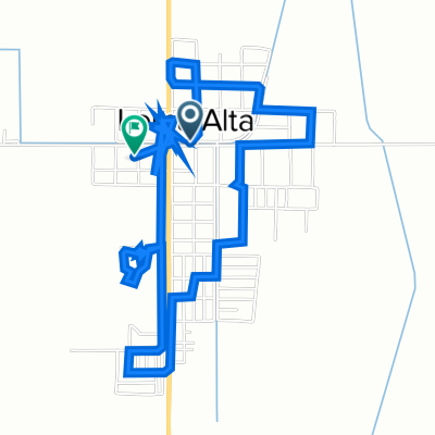 De Miguel Hidalgo y Costilla 1015, Loma Alta a Miguel Hidalgo y Costilla 1411, Loma Alta
- Distance
- 7.6 km
- Ascent
- 80 m
- Descent
- 85 m
- Location
- Xicoténcatl, Tamaulipas, Mexico
 De Calle Ricardo Flores Magón 282, Xicoténcatl a Calle Ricardo Flores Magón 282, Xicoténcatl
- Distance
- 252.4 km
- Ascent
- 974 m
- Descent
- 977 m
- Location
- Xicoténcatl, Tamaulipas, Mexico
 1/03-2023
- Distance
- 12.5 km
- Ascent
- 145 m
- Descent
- 147 m
- Location
- Xicoténcatl, Tamaulipas, Mexico
 Ruta desde Calle Lázaro Cárdenas 55, Loma Alta
- Distance
- 4.4 km
- Ascent
- 96 m
- Descent
- 91 m
- Location
- Xicoténcatl, Tamaulipas, Mexico
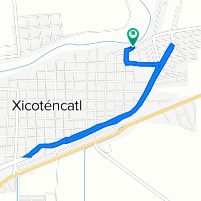
 Calle Guayalejo 443, Xicoténcatl a Calle José María Morelos y Pavón 318, Xicoténcatl
- Distance
- 14.2 km
- Ascent
- 87 m
- Descent
- 69 m
- Location
- Xicoténcatl, Tamaulipas, Mexico
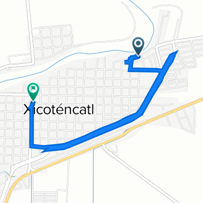
 Calle Lázaro Picasso 206, Xicoténcatl a Calle Miguel Hidalgo y Costilla 705, Xicoténcatl
- Distance
- 6.6 km
- Ascent
- 85 m
- Descent
- 76 m
- Location
- Xicoténcatl, Tamaulipas, Mexico
 Calle Francisco Villa 507, Xicoténcatl a Calle Diego Rivera 915, Xicoténcatl
- Distance
- 4.5 km
- Ascent
- 9 m
- Descent
- 10 m
- Location
- Xicoténcatl, Tamaulipas, Mexico
Open it in the app