

Jonsdorf - Labska bouda
A cycling route starting in Kurort Jonsdorf, Saxony, Germany.
Overview
About this route
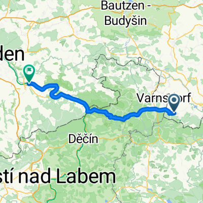
From the Zittau Mountains through the Jizera Mountains up to the Labska bouda in the Giant Mountains near the source of the Elbe. Maximum height of about 1400m.
- -:--
- Duration
- 219.2 km
- Distance
- 2,662 m
- Ascent
- 2,659 m
- Descent
- ---
- Avg. speed
- ---
- Max. altitude

Route highlights
Points of interest along the route
Point of interest after 49.8 km
Aussichtspunkt
Point of interest after 91.2 km
Rezek
Point of interest after 109.3 km
Labska bouda
Point of interest after 112.3 km
Vrbatova bouda
Point of interest after 125.6 km
asphaltierte Wanderwege
Point of interest after 134.8 km
Potraviny, 7-21
Point of interest after 172.4 km
Kralovka
Continue with Bikemap
Use, edit, or download this cycling route
You would like to ride Jonsdorf - Labska bouda or customize it for your own trip? Here is what you can do with this Bikemap route:
Free features
- Save this route as favorite or in collections
- Copy & plan your own version of this route
- Split it into stages to create a multi-day tour
- Sync your route with Garmin or Wahoo
Premium features
Free trial for 3 days, or one-time payment. More about Bikemap Premium.
- Navigate this route on iOS & Android
- Export a GPX / KML file of this route
- Create your custom printout (try it for free)
- Download this route for offline navigation
Discover more Premium features.
Get Bikemap PremiumFrom our community
Other popular routes starting in Kurort Jonsdorf
 Kurze Radrunde durch Jonsdorf
- Distance
- 7 km
- Ascent
- 295 m
- Descent
- 285 m
- Location
- Kurort Jonsdorf, Saxony, Germany
 Jonsdorf nach Stadt Wehlen
- Distance
- 82 km
- Ascent
- 622 m
- Descent
- 952 m
- Location
- Kurort Jonsdorf, Saxony, Germany
 Jested Alternativ
- Distance
- 90.2 km
- Ascent
- 1,275 m
- Descent
- 1,289 m
- Location
- Kurort Jonsdorf, Saxony, Germany
 Jonsdorfer Frühlingslauf 14 km
- Distance
- 12.5 km
- Ascent
- 422 m
- Descent
- 423 m
- Location
- Kurort Jonsdorf, Saxony, Germany
 Waltersdorf-Jonsdorf-Waltersdorf
- Distance
- 14.1 km
- Ascent
- 570 m
- Descent
- 566 m
- Location
- Kurort Jonsdorf, Saxony, Germany
 Trávník-Naděje-H.Světlá - D.Světlá-Mařenice-Lindava -Svitava-Maxov-Radvanec - Trávník CLONED FROM ROUTE 1516196
- Distance
- 36.9 km
- Ascent
- 441 m
- Descent
- 437 m
- Location
- Kurort Jonsdorf, Saxony, Germany
 Herbsttour Ostsachsen + Böhmische Schweiz, Tag 4
- Distance
- 71.5 km
- Ascent
- 805 m
- Descent
- 1,066 m
- Location
- Kurort Jonsdorf, Saxony, Germany
 Jonsdorf - Labska bouda
- Distance
- 219.2 km
- Ascent
- 2,662 m
- Descent
- 2,659 m
- Location
- Kurort Jonsdorf, Saxony, Germany
Open it in the app