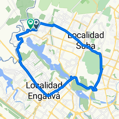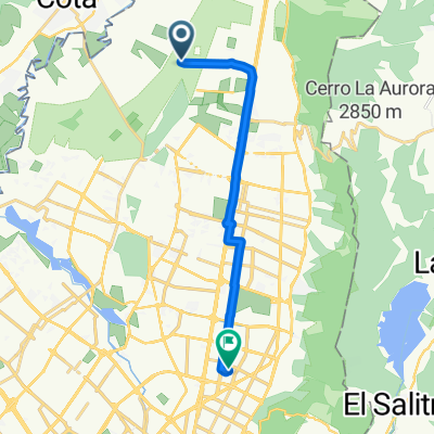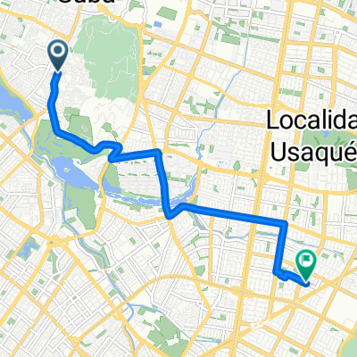
De Calle 127f # 93F-31 a Calle 127f # 93F-12
- 64 km
- 607 m
- 623 m
- Cota, Cundinamarca, Colombia
A cycling route starting in Cota, Cundinamarca, Colombia.
Overview
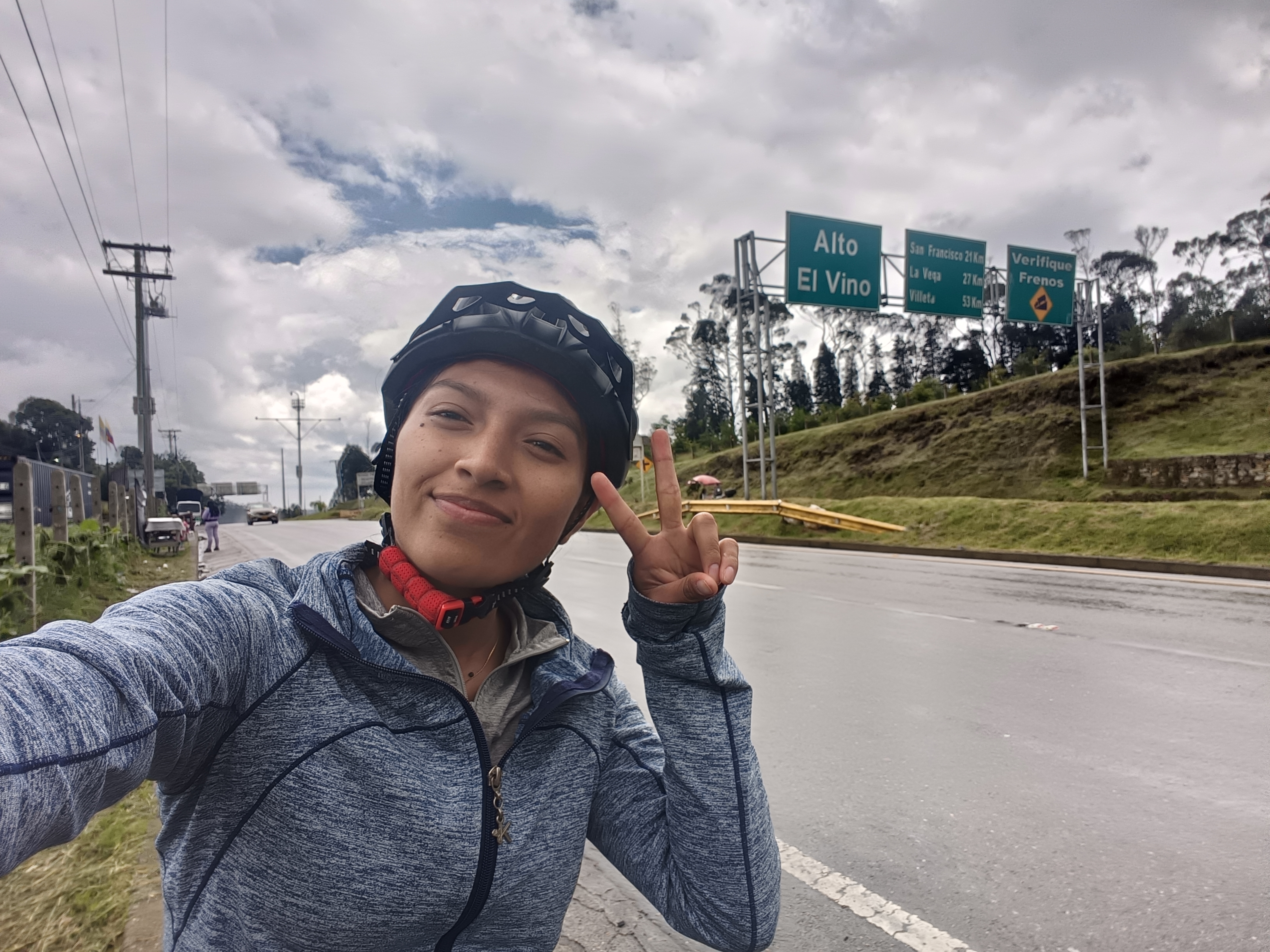
created this 2 years ago
Route quality
Cycleway
15.6 km
(64 %)
Quiet road
2.7 km
(11 %)
Paved
9.2 km
(38 %)
Asphalt
6.3 km
(26 %)
Paved (undefined)
2.7 km
(11 %)
Continue with Bikemap
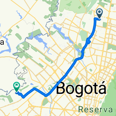
You would like to ride De Diagonal 86a 101-40, Bogotá a 40 2213, Soacha or customize it for your own trip? Here is what you can do with this Bikemap route:
Free trial for 3 days, or one-time payment. More about Bikemap Premium.
Discover more Premium features.
Get Bikemap PremiumFrom our community
Open it in the app