Kührointalm über Schönau/Hammerstiel
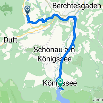
A cycling route starting in Bischofswiesen, Bavaria, Germany.
Overview
About this route
Bis zum Parkplatz 'Hammerstiel' gut asphaltiert. Danach geschotterter Wanderweg bzw. Forstweg.
Am Ziel sind die Kürointalmen bewirtschaftet. Ein herrliches Gebiet am Fuß des Watzmanns.
Ein Abstecher zur Archenkanzel lohnt allein schon wegen dem Ausblick auf den Königssee und das Steinerne Meer.
Für die Rückfahrt kann die selbe Strecke gewählt werden, oder man bleibt ab der Schappbachalm auf der Forststrasse (immer geradeaus) bis zum Wimbachbrücke kurz vor Ramsau. Von dort auf der 'normalen' Strasse zurück Richtung Berchtesgaden.
- -:--
- Duration
- 18.4 km
- Distance
- 916 m
- Ascent
- 137 m
- Descent
- ---
- Avg. speed
- ---
- Avg. speed
Continue with Bikemap
Use, edit, or download this cycling route
You would like to ride Kührointalm über Schönau/Hammerstiel or customize it for your own trip? Here is what you can do with this Bikemap route:
Free features
- Save this route as favorite or in collections
- Copy & plan your own version of this route
- Sync your route with Garmin or Wahoo
Premium features
Free trial for 3 days, or one-time payment. More about Bikemap Premium.
- Navigate this route on iOS & Android
- Export a GPX / KML file of this route
- Create your custom printout (try it for free)
- Download this route for offline navigation
Discover more Premium features.
Get Bikemap PremiumFrom our community
Other popular routes starting in Bischofswiesen
- Gotzenalm
- Distance
- 40.4 km
- Ascent
- 1,541 m
- Descent
- 1,541 m
- Location
- Bischofswiesen, Bavaria, Germany
- Besichtigung Bad Reichenhall
- Distance
- 33.4 km
- Ascent
- 363 m
- Descent
- 362 m
- Location
- Bischofswiesen, Bavaria, Germany
- MTB Runde mit Trimm-dich-Pfad u.Trail
- Distance
- 12.7 km
- Ascent
- 211 m
- Descent
- 209 m
- Location
- Bischofswiesen, Bavaria, Germany
- Berchtesgaden - Lockstein - Kälbersteinschanze und -kapelle - Kastensteinerwand Alm
- Distance
- 29.8 km
- Ascent
- 620 m
- Descent
- 610 m
- Location
- Bischofswiesen, Bavaria, Germany
- Obersalzberg - Sappenlehen - Königssee
- Distance
- 39.3 km
- Ascent
- 619 m
- Descent
- 610 m
- Location
- Bischofswiesen, Bavaria, Germany
- Murdau (Variante via Hirschkaser) Trail
- Distance
- 37.8 km
- Ascent
- 1,641 m
- Descent
- 1,200 m
- Location
- Bischofswiesen, Bavaria, Germany
- Biergartenrunde zum Königssee...
- Distance
- 34.4 km
- Ascent
- 313 m
- Descent
- 303 m
- Location
- Bischofswiesen, Bavaria, Germany
- Rund um den Untersberg
- Distance
- 54.3 km
- Ascent
- 681 m
- Descent
- 682 m
- Location
- Bischofswiesen, Bavaria, Germany
Open it in the app