
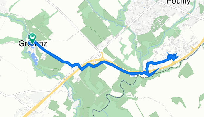
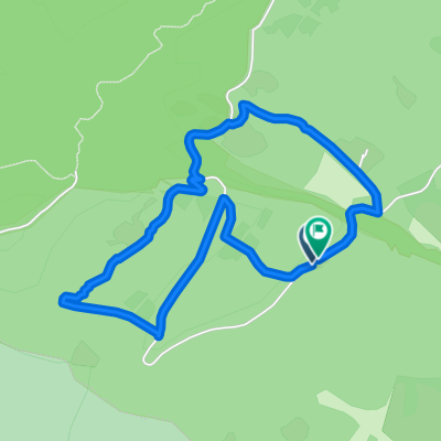
1012 Chemin du Pont de Gremaz, Thoiry to 132 Rue de la Pisciculture, Thoiry
A cycling route starting in Thoiry, Auvergne-Rhône-Alpes, France.
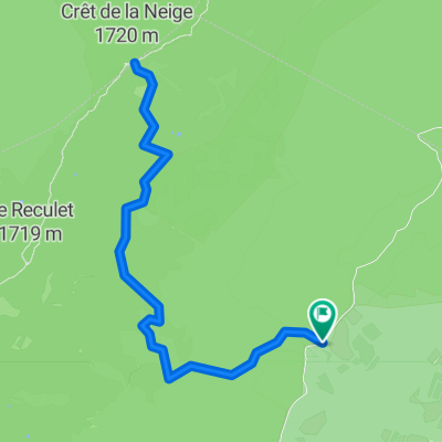
Overview
About this route
- 37 min
- Duration
- 6.9 km
- Distance
- 41 m
- Ascent
- 45 m
- Descent
- 11.1 km/h
- Avg. speed
- 452 m
- Avg. speed

Route quality
Waytypes & surfaces along the route
Waytypes
Quiet road
4.5 km
(66 %)
Access road
1.3 km
(19 %)
Surfaces
Paved
4.2 km
(61 %)
Asphalt
4.2 km
(61 %)
Undefined
2.7 km
(39 %)
Continue with Bikemap
Use, edit, or download this cycling route
You would like to ride 1012 Chemin du Pont de Gremaz, Thoiry to 132 Rue de la Pisciculture, Thoiry or customize it for your own trip? Here is what you can do with this Bikemap route:
Free features
- Save this route as favorite or in collections
- Copy & plan your own version of this route
- Sync your route with Garmin or Wahoo
Premium features
Free trial for 3 days, or one-time payment. More about Bikemap Premium.
- Navigate this route on iOS & Android
- Export a GPX / KML file of this route
- Create your custom printout (try it for free)
- Download this route for offline navigation
Discover more Premium features.
Get Bikemap PremiumFrom our community
Other popular routes starting in Thoiry
 La descente des Pirannes (via le Tiocan)
- Distance
- 9.2 km
- Ascent
- 368 m
- Descent
- 371 m
- Location
- Thoiry, Auvergne-Rhône-Alpes, France
 De ?¥FÍ? à ?¥FÍ?
- Distance
- 17.8 km
- Ascent
- 60 m
- Descent
- 140 m
- Location
- Thoiry, Auvergne-Rhône-Alpes, France
 thoiry - st claude loop
- Distance
- 178.1 km
- Ascent
- 2,667 m
- Descent
- 2,661 m
- Location
- Thoiry, Auvergne-Rhône-Alpes, France
 XCO - Top Flat - Jura 2
- Distance
- 4.1 km
- Ascent
- 233 m
- Descent
- 236 m
- Location
- Thoiry, Auvergne-Rhône-Alpes, France
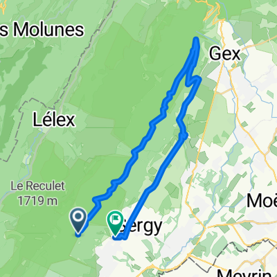 Gex par le tiocan
- Distance
- 28.3 km
- Ascent
- 283 m
- Descent
- 623 m
- Location
- Thoiry, Auvergne-Rhône-Alpes, France
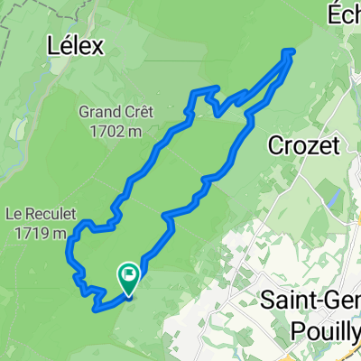 Reculet-Crozet
- Distance
- 23.4 km
- Ascent
- 850 m
- Descent
- 852 m
- Location
- Thoiry, Auvergne-Rhône-Alpes, France
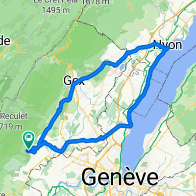 Small Thoiry Nyon Circuit
- Distance
- 64.7 km
- Ascent
- 454 m
- Descent
- 454 m
- Location
- Thoiry, Auvergne-Rhône-Alpes, France
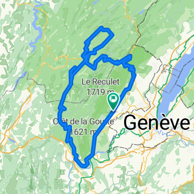
 Crêt de la Neige
- Distance
- 9.9 km
- Ascent
- 838 m
- Descent
- 837 m
- Location
- Thoiry, Auvergne-Rhône-Alpes, France
Open it in the app