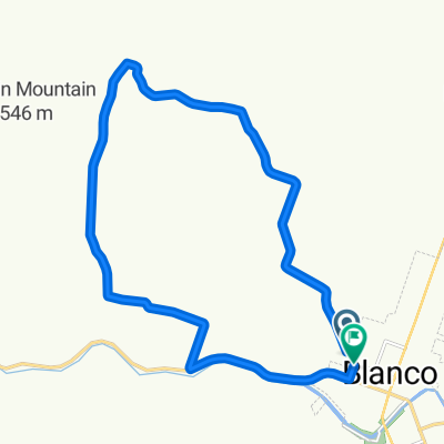
Blanco to Lady Bird
A cycling route starting in Blanco, Texas, United States.
Overview
About this route
- 3 h 57 min
- Duration
- 65.4 km
- Distance
- 559 m
- Ascent
- 448 m
- Descent
- 16.6 km/h
- Avg. speed
- 562 m
- Max. altitude
Route quality
Waytypes & surfaces along the route
Waytypes
Busy road
42.2 km
(65 %)
Quiet road
12.5 km
(19 %)
Surfaces
Paved
18.8 km
(29 %)
Asphalt
15.6 km
(24 %)
Paved (undefined)
2.6 km
(4 %)
Continue with Bikemap
Use, edit, or download this cycling route
You would like to ride Blanco to Lady Bird or customize it for your own trip? Here is what you can do with this Bikemap route:
Free features
- Save this route as favorite or in collections
- Copy & plan your own version of this route
- Sync your route with Garmin or Wahoo
Premium features
Free trial for 3 days, or one-time payment. More about Bikemap Premium.
- Navigate this route on iOS & Android
- Export a GPX / KML file of this route
- Create your custom printout (try it for free)
- Download this route for offline navigation
Discover more Premium features.
Get Bikemap PremiumFrom our community
Other popular routes starting in Blanco
- Blanco
- Distance
- 32 km
- Ascent
- 246 m
- Descent
- 254 m
- Location
- Blanco, Texas, United States
- blanco wimberley fischer blanco
- Distance
- 79.8 km
- Ascent
- 940 m
- Descent
- 940 m
- Location
- Blanco, Texas, United States
- HCL Day 3
- Distance
- 117.3 km
- Ascent
- 308 m
- Descent
- 547 m
- Location
- Blanco, Texas, United States
- Texas Hill Country
- Distance
- 203.2 km
- Ascent
- ---
- Descent
- ---
- Location
- Blanco, Texas, United States
- Blanco to Lady Bird
- Distance
- 65.4 km
- Ascent
- 559 m
- Descent
- 448 m
- Location
- Blanco, Texas, United States
- cottonwood loop
- Distance
- 19.8 km
- Ascent
- 170 m
- Descent
- 135 m
- Location
- Blanco, Texas, United States
- loop1
- Distance
- 9.9 km
- Ascent
- 63 m
- Descent
- 62 m
- Location
- Blanco, Texas, United States
Open it in the app