

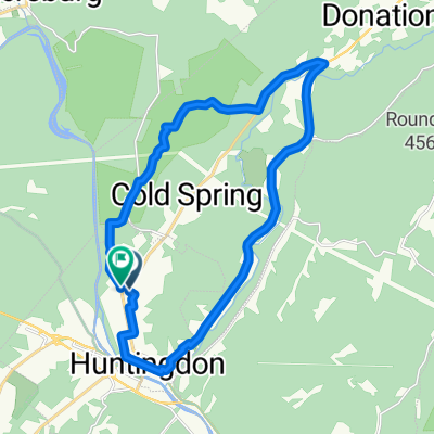
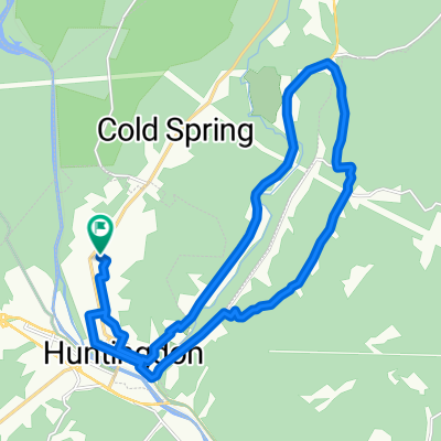
Corbin Climb Barkridge Loop
A cycling route starting in Huntingdon, Pennsylvania, United States.
Overview
About this route
Half Gravel, Half paved, climbs and screamer descents.
- -:--
- Duration
- 41.8 km
- Distance
- 1,026 m
- Ascent
- 1,026 m
- Descent
- ---
- Avg. speed
- 513 m
- Max. altitude

Route quality
Waytypes & surfaces along the route
Waytypes
Quiet road
23.7 km
(57 %)
Road
9.2 km
(22 %)
Surfaces
Paved
9.3 km
(22 %)
Unpaved
9.9 km
(24 %)
Asphalt
9.2 km
(22 %)
Unpaved (undefined)
8 km
(19 %)
Continue with Bikemap
Use, edit, or download this cycling route
You would like to ride Corbin Climb Barkridge Loop or customize it for your own trip? Here is what you can do with this Bikemap route:
Free features
- Save this route as favorite or in collections
- Copy & plan your own version of this route
- Sync your route with Garmin or Wahoo
Premium features
Free trial for 3 days, or one-time payment. More about Bikemap Premium.
- Navigate this route on iOS & Android
- Export a GPX / KML file of this route
- Create your custom printout (try it for free)
- Download this route for offline navigation
Discover more Premium features.
Get Bikemap PremiumFrom our community
Other popular routes starting in Huntingdon
 Route from Huntingdon
- Distance
- 73.2 km
- Ascent
- 1,299 m
- Descent
- 1,033 m
- Location
- Huntingdon, Pennsylvania, United States
 Corbin Climb Barkridge Loop
- Distance
- 41.8 km
- Ascent
- 1,026 m
- Descent
- 1,026 m
- Location
- Huntingdon, Pennsylvania, United States
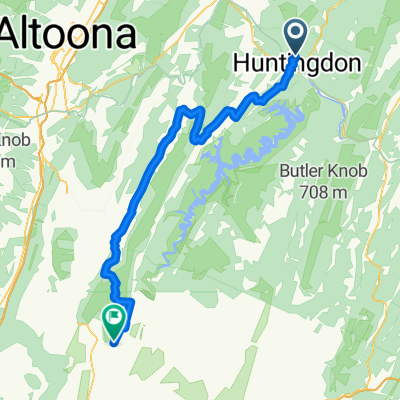
 Lower Trail
- Distance
- 52.4 km
- Ascent
- 577 m
- Descent
- 574 m
- Location
- Huntingdon, Pennsylvania, United States
 Center Union Loop (w/ added SGL instead of Cold Spring)
- Distance
- 24.1 km
- Ascent
- 301 m
- Descent
- 300 m
- Location
- Huntingdon, Pennsylvania, United States
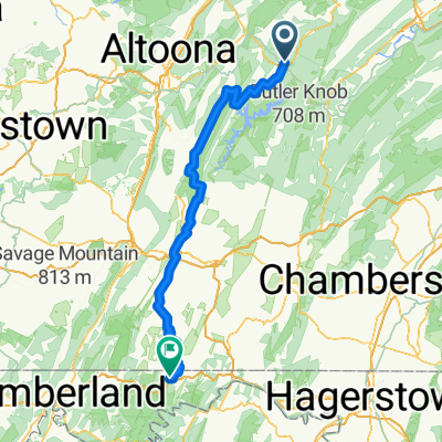
 Huntingdon - Everett
- Distance
- 73.2 km
- Ascent
- 1,408 m
- Descent
- 1,310 m
- Location
- Huntingdon, Pennsylvania, United States
 Route in Huntingdon
- Distance
- 23.5 km
- Ascent
- 342 m
- Descent
- 345 m
- Location
- Huntingdon, Pennsylvania, United States
 Route to Poe Paddy State Park
- Distance
- 139.1 km
- Ascent
- 2,641 m
- Descent
- 2,492 m
- Location
- Huntingdon, Pennsylvania, United States
 Standing Stone - Stone Creek Ridge
- Distance
- 23.6 km
- Ascent
- 343 m
- Descent
- 346 m
- Location
- Huntingdon, Pennsylvania, United States
Open it in the app