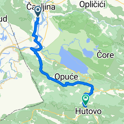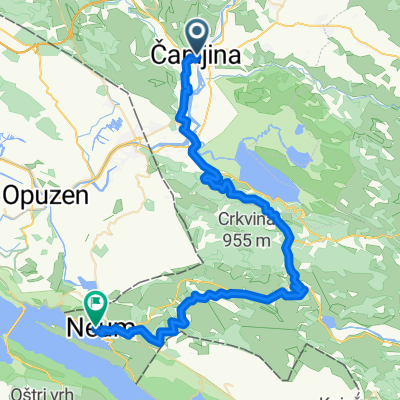
Capljina - lake - Drakevo
- 25.1 km
- 342 m
- 328 m
- Tasovčići, Federation of Bosnia and Herzegovina, Bosnia and Herzegovina
A cycling route starting in Tasovčići, Federation of Bosnia and Herzegovina, Bosnia and Herzegovina.
Overview
created this 2 years ago
Route quality
Quiet road
13.8 km
(58 %)
Path
1.2 km
(5 %)
Paved
7.6 km
(32 %)
Asphalt
7.6 km
(32 %)
Undefined
16.2 km
(68 %)
Route highlights
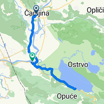
Arheološko nalazište Desilo
Continue with Bikemap
You would like to ride Krug oko Svitavskog jezera or customize it for your own trip? Here is what you can do with this Bikemap route:
Free trial for 3 days, or one-time payment. More about Bikemap Premium.
Discover more Premium features.
Get Bikemap PremiumFrom our community
Open it in the app