

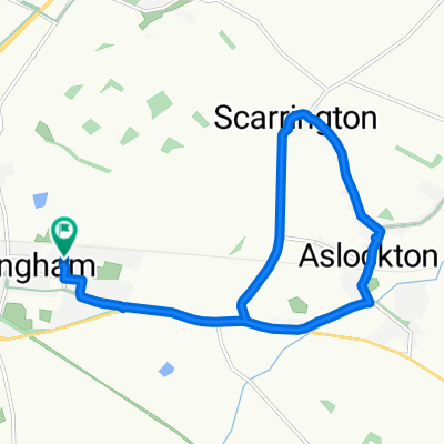
Southwell+
A cycling route starting in Bingham, England, United Kingdom.
Overview
About this route
- -:--
- Duration
- 76.9 km
- Distance
- 298 m
- Ascent
- 296 m
- Descent
- ---
- Avg. speed
- 72 m
- Max. altitude

Continue with Bikemap
Use, edit, or download this cycling route
You would like to ride Southwell+ or customize it for your own trip? Here is what you can do with this Bikemap route:
Free features
- Save this route as favorite or in collections
- Copy & plan your own version of this route
- Sync your route with Garmin or Wahoo
Premium features
Free trial for 3 days, or one-time payment. More about Bikemap Premium.
- Navigate this route on iOS & Android
- Export a GPX / KML file of this route
- Create your custom printout (try it for free)
- Download this route for offline navigation
Discover more Premium features.
Get Bikemap PremiumFrom our community
Other popular routes starting in Bingham
 langar.harby.stathern plungar
- Distance
- 30.3 km
- Ascent
- 96 m
- Descent
- 90 m
- Location
- Bingham, England, United Kingdom
 30m Sunday loop
- Distance
- 48.9 km
- Ascent
- 203 m
- Descent
- 201 m
- Location
- Bingham, England, United Kingdom
 ToBeestonOffRoad
- Distance
- 24.3 km
- Ascent
- 87 m
- Descent
- 84 m
- Location
- Bingham, England, United Kingdom
 Bingham_loop
- Distance
- 27.1 km
- Ascent
- 61 m
- Descent
- 81 m
- Location
- Bingham, England, United Kingdom
 Scarrington - Flintham - Shelton - Aslockton - Scarrington.
- Distance
- 22.9 km
- Ascent
- 48 m
- Descent
- 49 m
- Location
- Bingham, England, United Kingdom
 Bingham - Barrow - Bingham V2
- Distance
- 87 km
- Ascent
- 747 m
- Descent
- 744 m
- Location
- Bingham, England, United Kingdom
 southwark-max-deviation
- Distance
- 64.8 km
- Ascent
- 294 m
- Descent
- 294 m
- Location
- Bingham, England, United Kingdom
 Route in Nottingham
- Distance
- 11.7 km
- Ascent
- 10 m
- Descent
- 9 m
- Location
- Bingham, England, United Kingdom
Open it in the app